
Day 22
Day’s distance: 293 miles (odometer)
Total trip distance: 5,644 miles
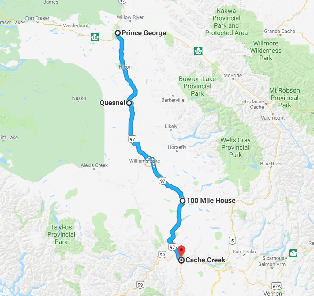
Pleasant weather greeted me today. The ride has scenic moments but in reality I’m traveling on a busy highway that gets congested as it enters each town along the way.

Loosely following the Frasier River, this part of British Columbia I believe is referred to as the Frasier Valley.
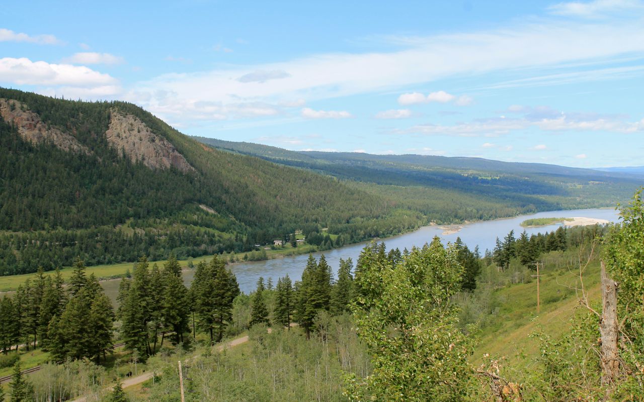
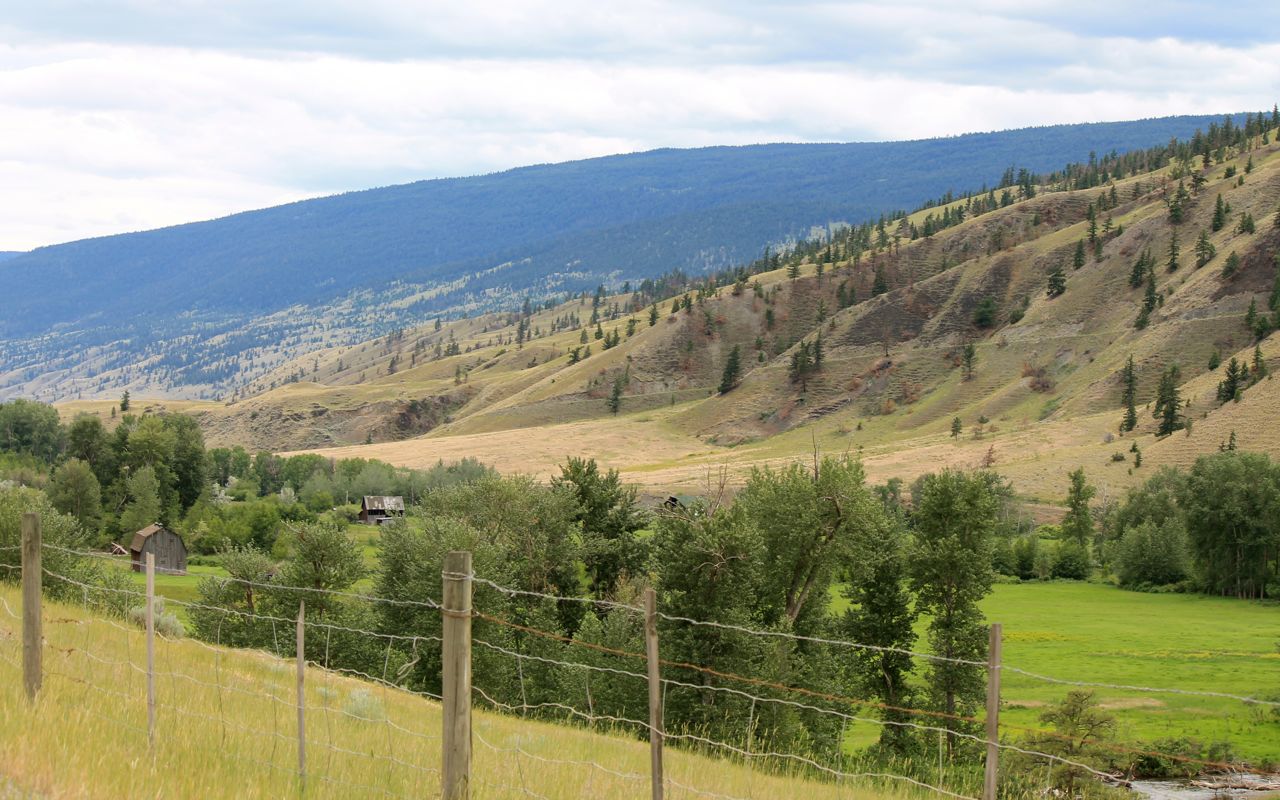
The hills begin to transition to a dryer climate landscape near Cache Creek. The Frasier Creek has turned westward. We’ll catch up again tomorrow in dramatic fashion.
I checked in and, as expected, the wi-fi was unusable. So I got cleaned up and walked up to get a BBQ chicken pizza from Anie’s Pizza & Bakery.
Day 23 – Arriving Home
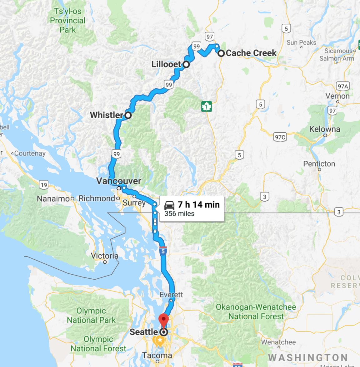
Day’s distance: 356 miles
Total trip distance (final): 6,000 miles
Varied temperatures from 47 in the mountain peaks to mid 60s accompanied by showers in the mountains and south of Whistler made for a nice enough day for a ride through one of my favorite roads in south BC.
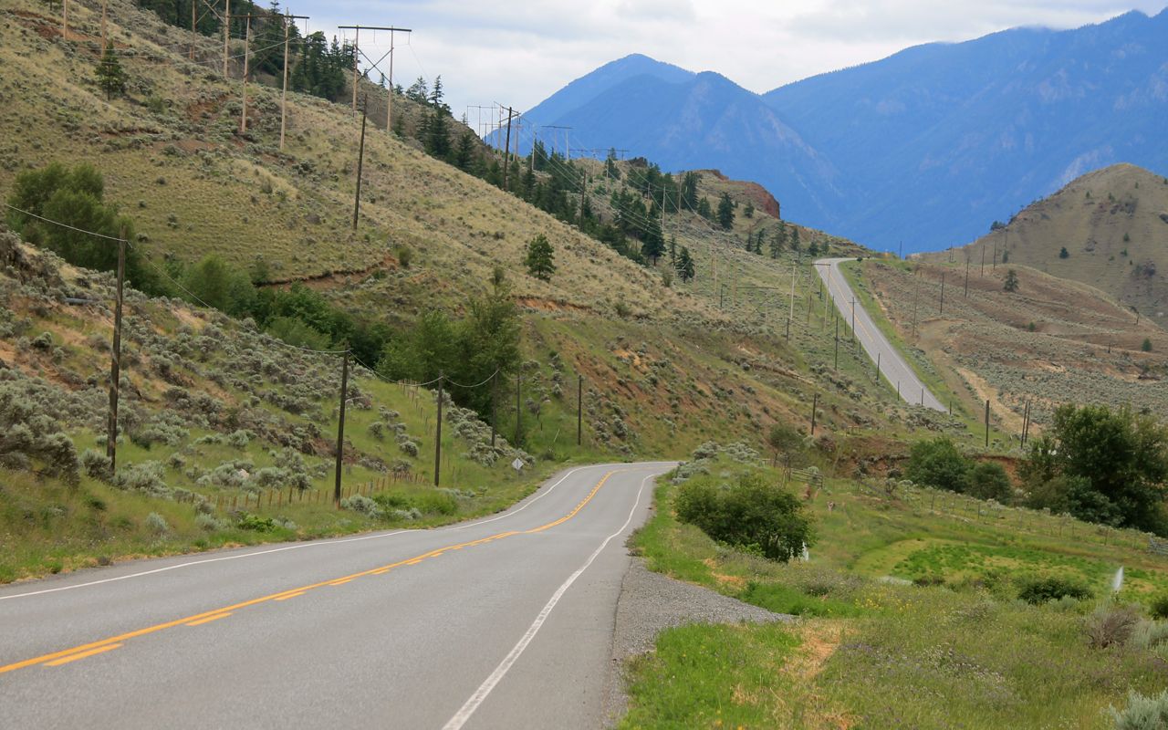
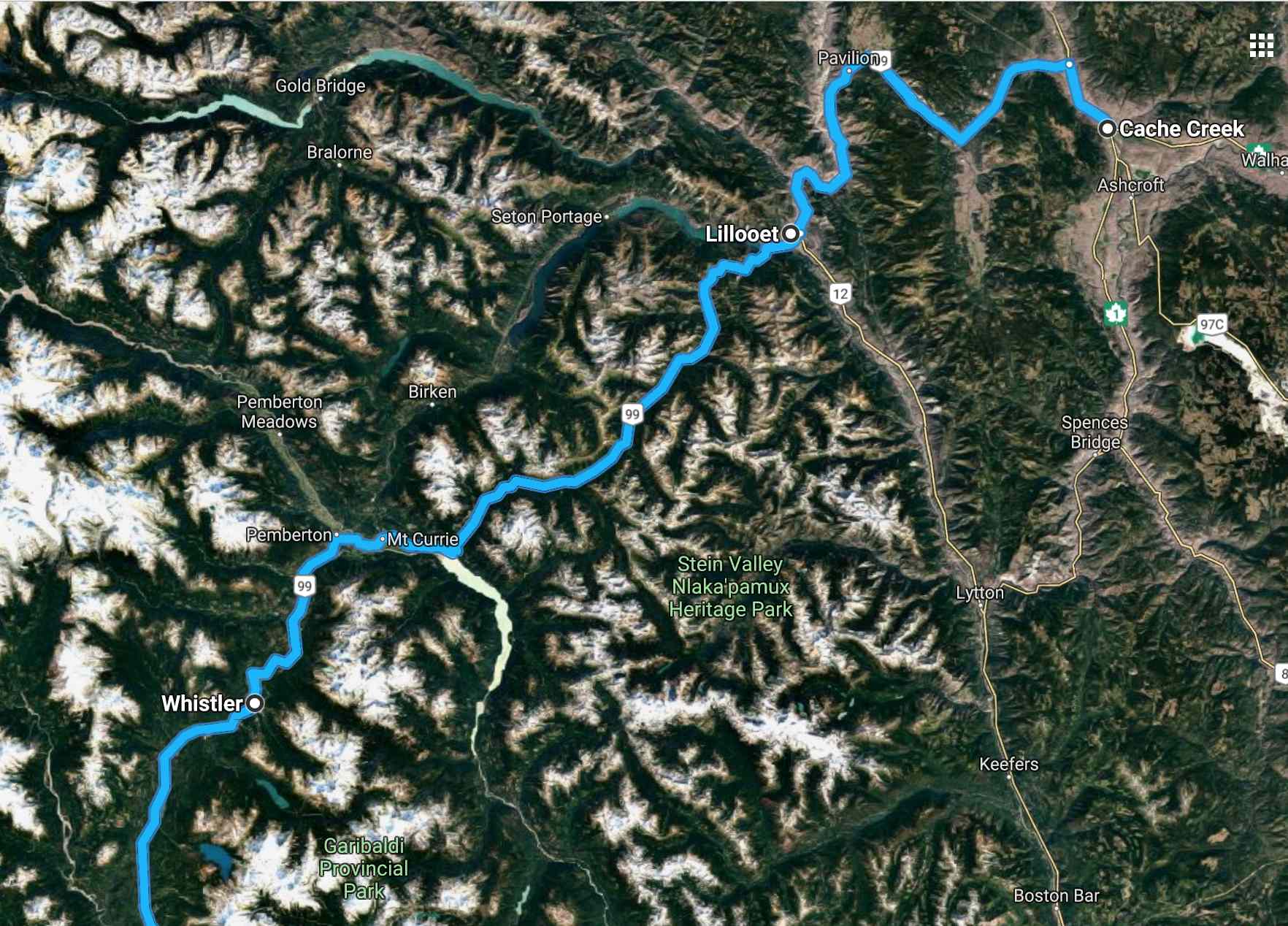
Today’s route and the staging down in Cache Creek was all about riding Hwy 99 west into Vancouver. It is scenic and less traveled. Much of it follows narrow canyons, sometimes presenting snow capped peaks in late-June.
Traveling west, the speed limit is 100kph and the limits gets progressively lower as one enters the mountains and various towns. I traveled at well controlled speeds safe for conditions but not necessarily comparing to posted, or last posted, until I arrived in Whistler.
Just west of turnoff from Cache Creek the road is perfect and there is nothing technical. Fun and relaxing.

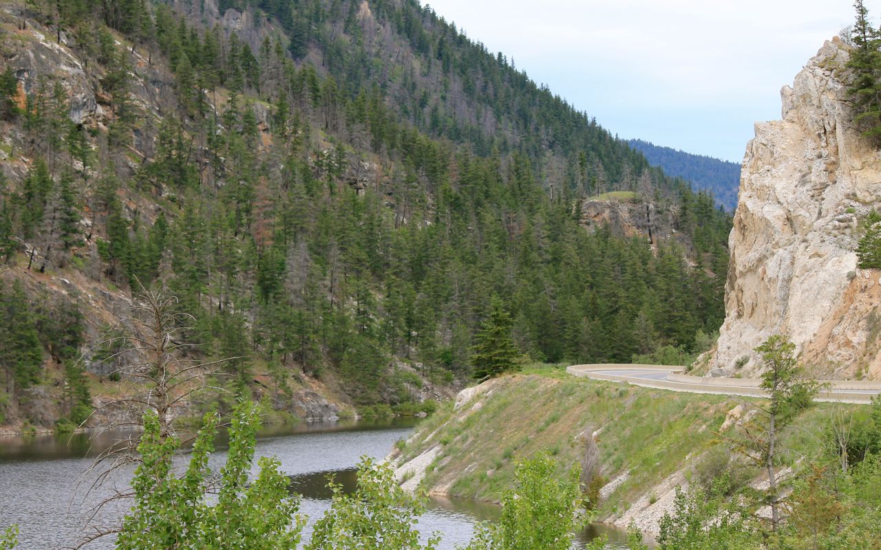
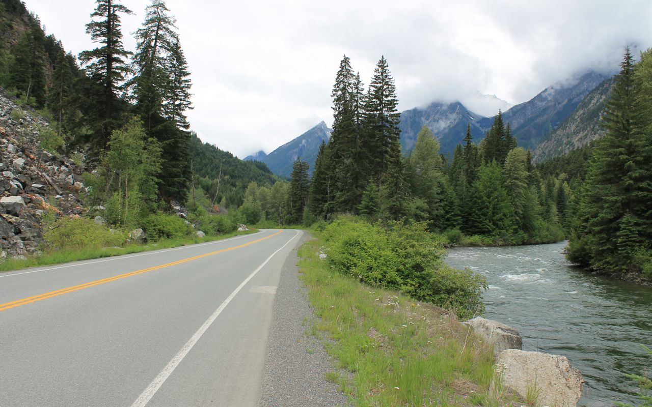
In the next photos, we’ve ridden through canyon land carved out by the Frasier River, which we’ve rejoined.
Hillside real estate is shared by the Canadian National railway.

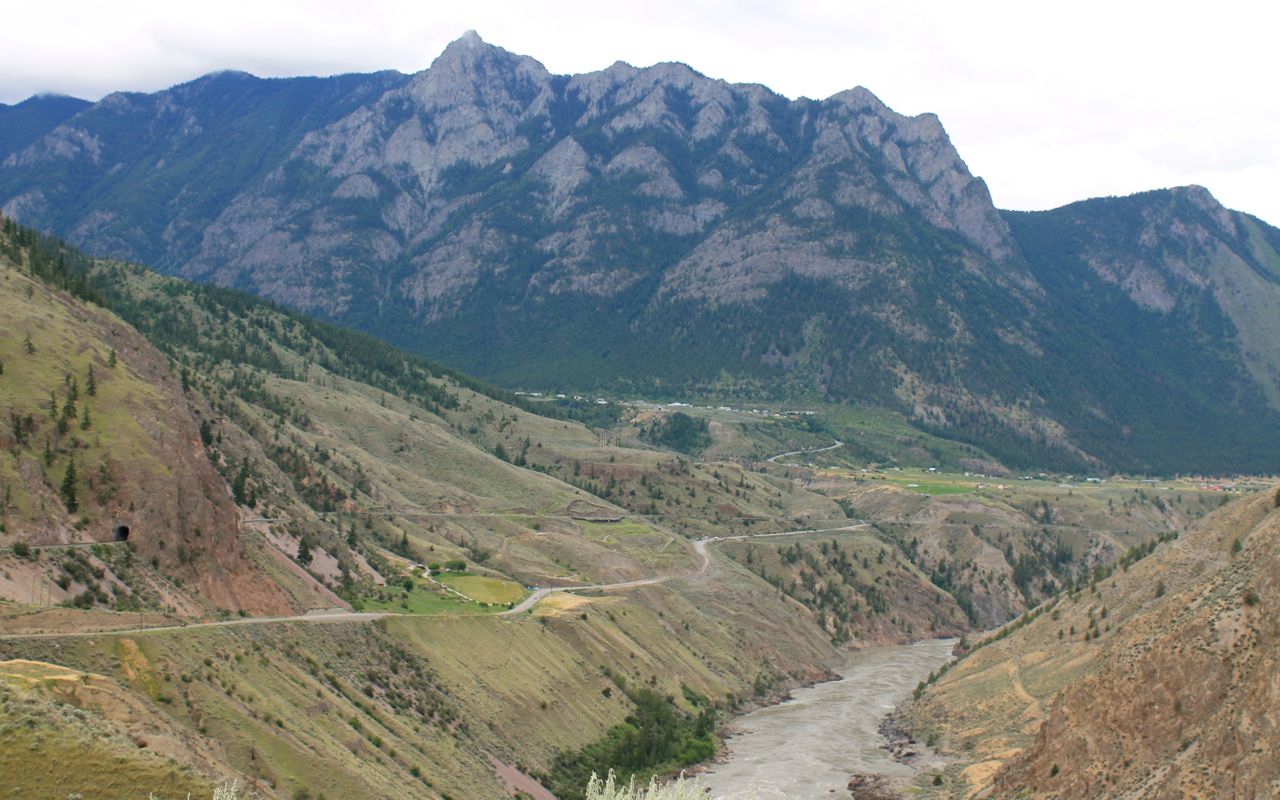
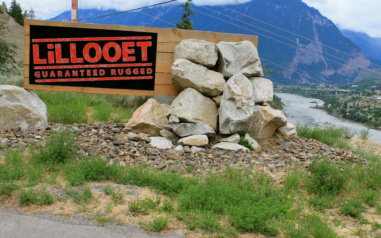
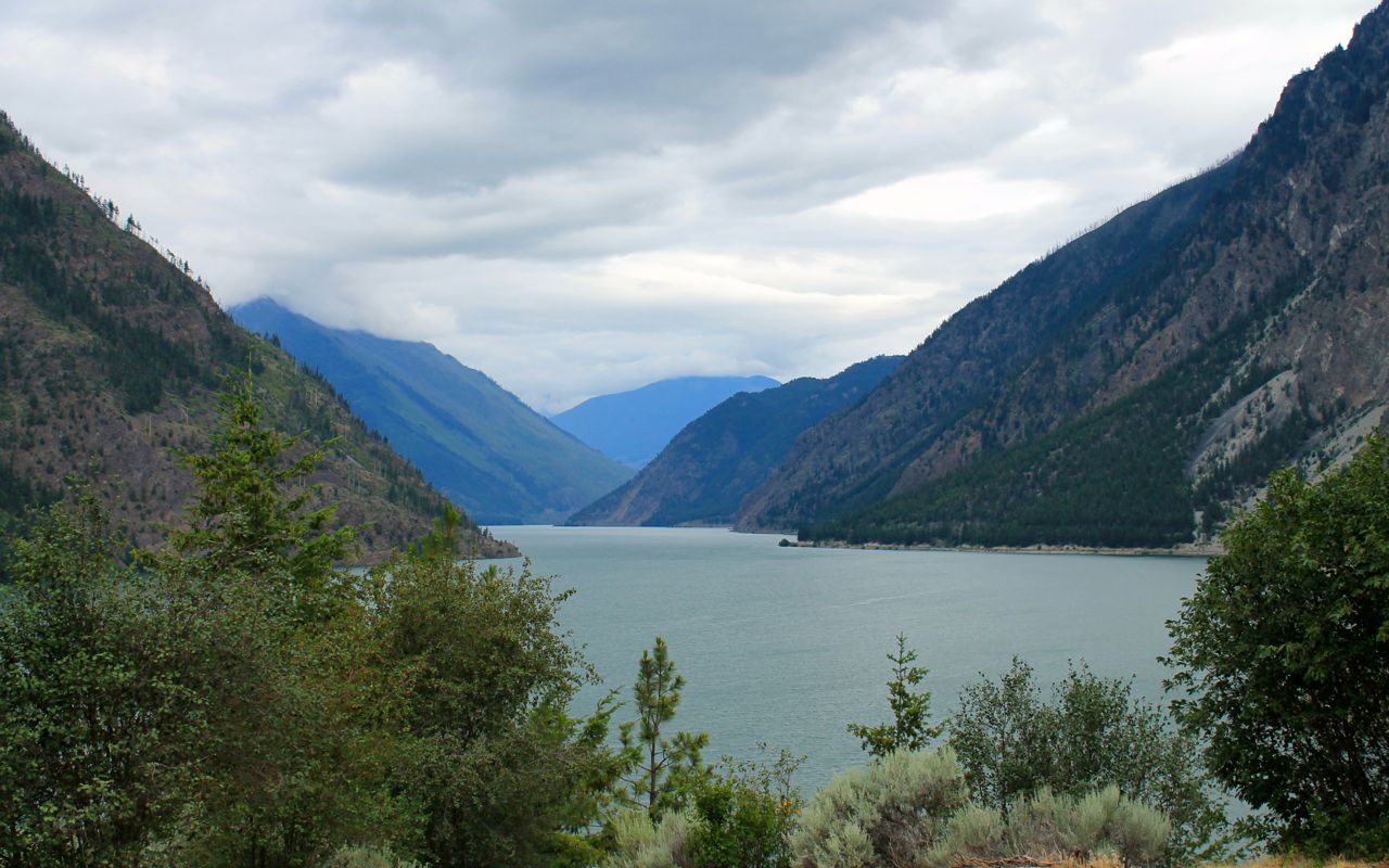
Entering Lillooet, along with the Frasier River.
And Seaton Lake, located on the other end of town.
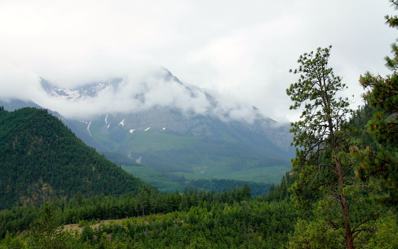
Rain clouds were building up in the mountains I would travel through.
I did catch news of this prior to leaving the motel (local news weather report). And, voila! I put on the rain suit and continued on.
This might have been the Gott Creek, but there were so many crossing path with us.
Here’s a video of this section of road from the 2014 Loop through Cache Creek trip. I travel west to east in the video. Instead of late-June, it’s on a sunny and warm late-September day. Note: the song used on the video, combined with the gentle curves and scenery recreates for me, the one who was there, a sense of the peace and rhythm found on a good motorcycle road like this one. Note #2: A tour bus was at the narrow bridge you see at 1:30 in the video. I knew this time the bridge was there and quickly yielded the entire bridge to it. What are the odds meeting a bus right there, wow?
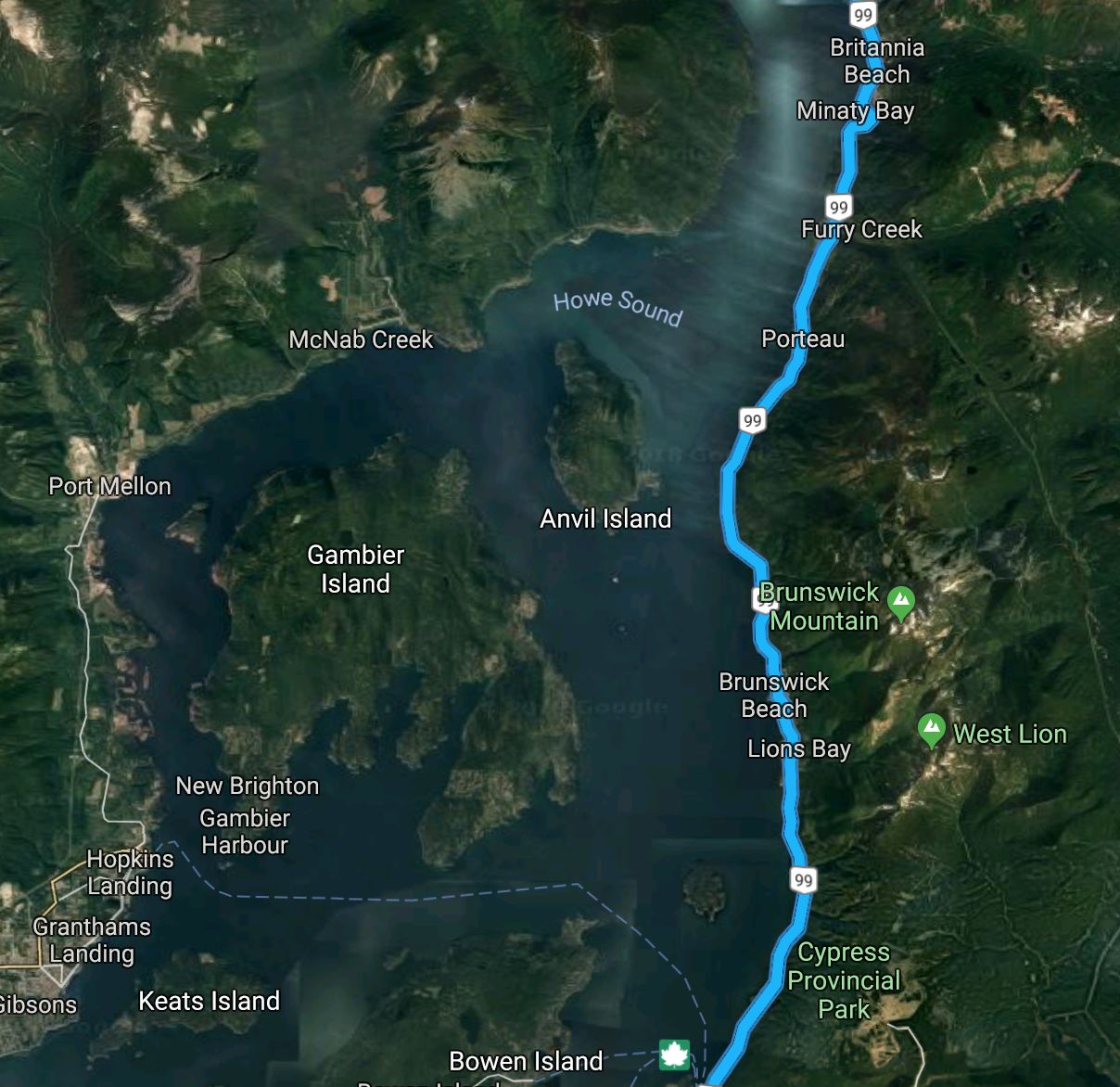
My route also took me along the picturesque Howe Sound. With the cameras packed away, I didn’t stop at the handful of risky to enter/exit turnouts in the rain on this hwy being used by commuters along with tourists.
I crossed through Customs at the Truck Crossing on Hwy 13, just a few miles west of Abbotsford. There were two cars in one line and nobody in the other, so I was on my way again in just a few minutes.
I reached the house at 4pm. It took about 45 minutes to finish the last 10 miles, but that’s predictable and was planned around with one additional gas stop. With delays in North Vancouver and east of Lillooet, a fine last day all things considered.
I post reflections on the ride in a few days. I will also create a separate page for this trip under Adventures.
