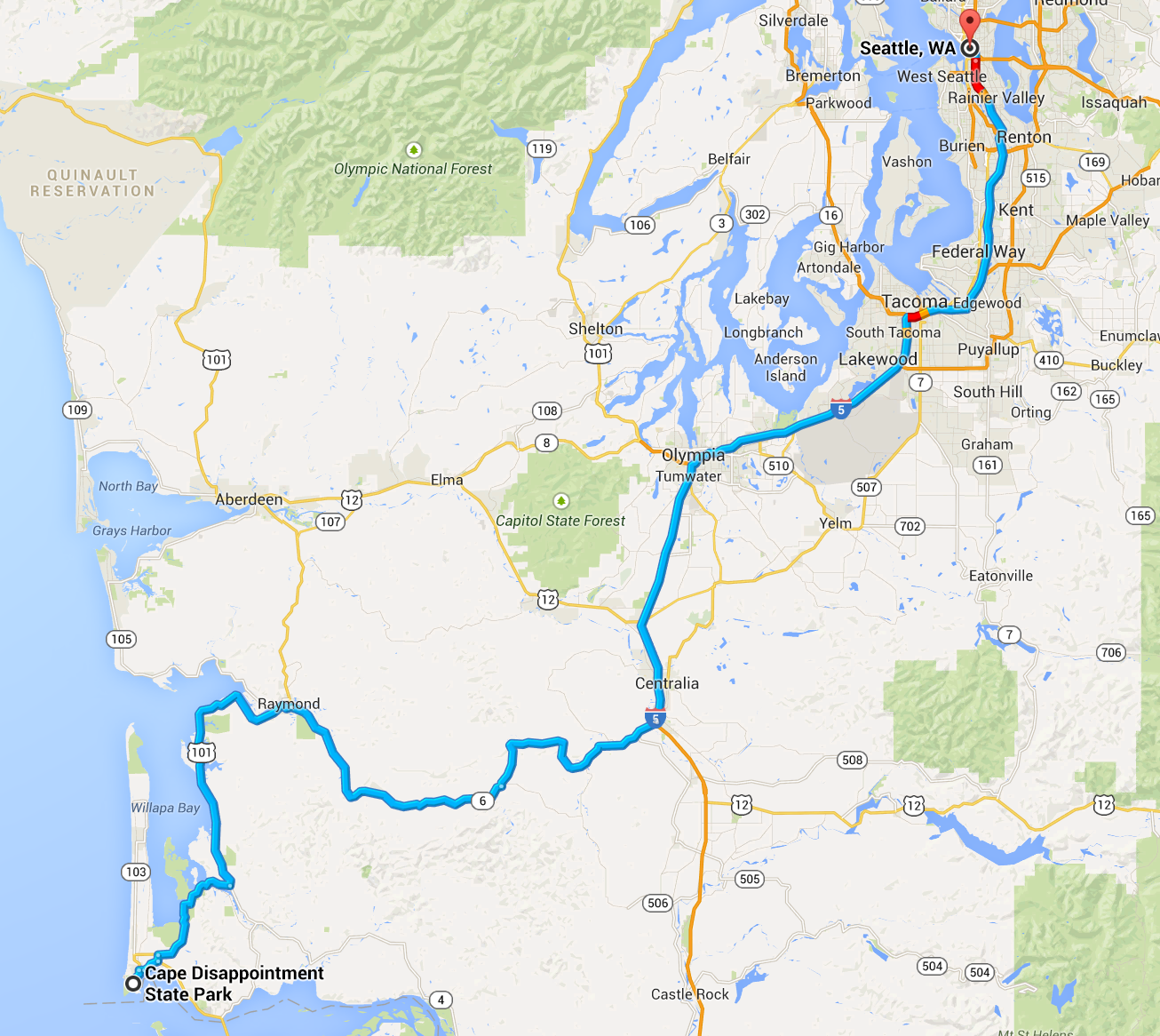
I left for Crater Lake on Sunday, September 7th. I traveled alone along the 1,098 mile, four day loop. This was my first visit to Crater Lake.
For this trip, I camped on the first and third nights and stay in a motel in between. I would circle back from Eastern Oregon to the coast, revisiting some of the places on Hwy 101 that I had seen on my first trip of the summer, the Western States Tour.
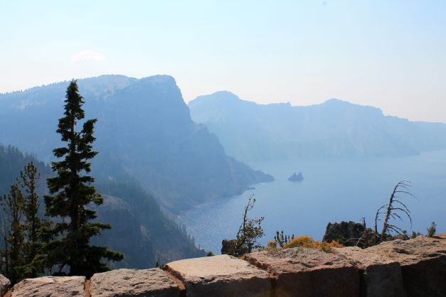
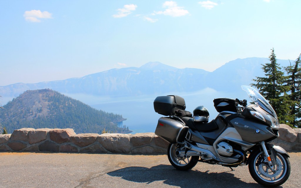
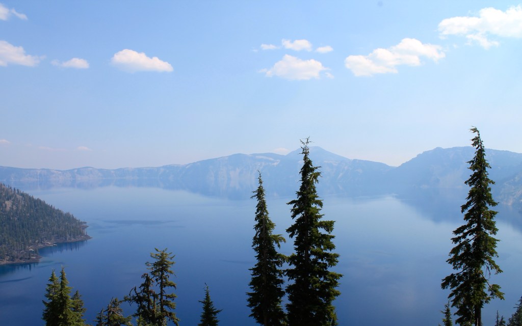
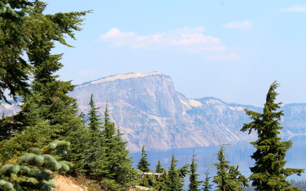
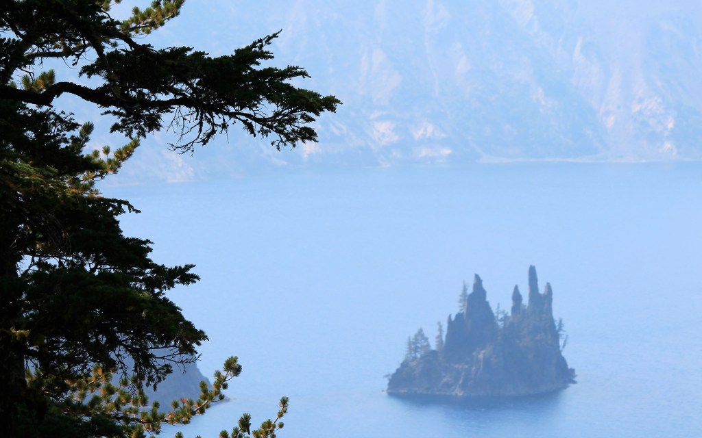
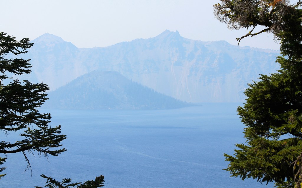
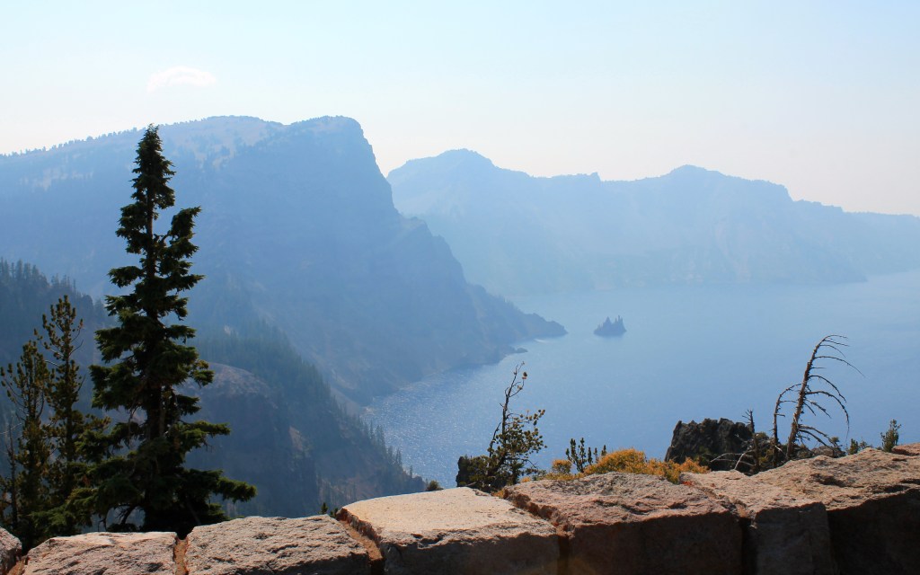
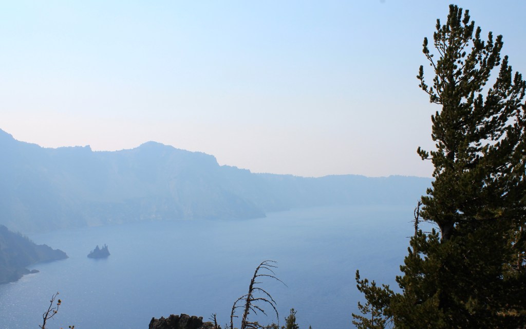
The weather was good, but wildfires in Oregon diminished the air quality and taking photos at Crater Lake was challenging.
The route I decided on included three roads that were especially fun for motorcyclists, and the Gods of Garmin managed to route me onto a fourth. It was a great trip.
Day 1 – Seattle to Tumalo State Park

Day’s distance: 380 miles
The weather was clear and sunny with temperatures ranging from the low 60’s to the low 90’s.
I left the house about 8:30am on Sunday morning and headed east on I-90. I reached Snoqualmie Pass about 45 minutes later.
Before reaching the summit, four riders on Harleys passed me. They each waived to me in succession. The rider at the rear of the pack was especially encouraging, giving me a big thumbs up. I waived back and thought to myself, would they still waive if they knew that at that moment, I was listening to the 80’s boy band New Kids on the Block? I laughed thinking they’ll never know.
There is an advantage to having music playing inside your helmet versus through motorcycle speakers 🙂
I took Canyon Road (State Route 821), an idea I found on motorcycleroads.com. Thanks go to BearPilot, the member who submitted the route. Canyon Road took me through Yakima Canyon, scenic and full of gentle curves that follow the Yakima River.
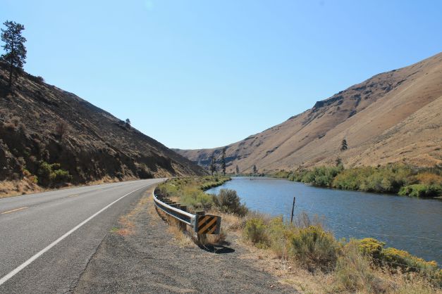
It seemed to me that fishermen and motorcyclists were the two largest groups using this relatively desolate area.
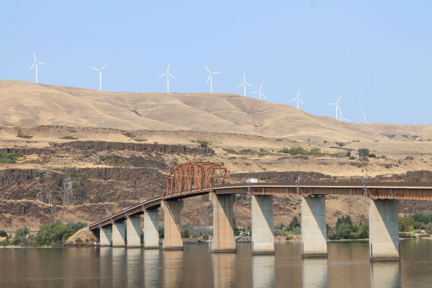
I turned south Hwy 97, eventually crossing the Columbia River.
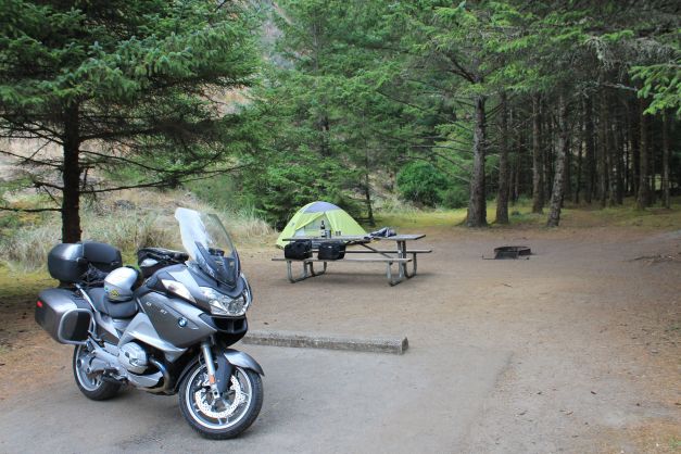
As I continued south in Oregon, the air quality declined. There are a number of fires to the west of my route that left the air hazy and smelling of smoke. Hwy 97 was hot and not very interesting from a motorcycle perspective. I plowed on and made it to Tumalo State Park, where I set up camp.
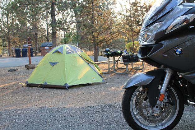
Tumalo State Park is located adjacent to the Deschutes River. It was nice in that regard, but at night, the road nearby is pretty noisy. The park itself is not located in a secluded area.
My next camp neighbors, two twenty something couples from Portland, were fun. I met them when I offered the remainder of my bottle of wine. (I generally can’t drink a whole bottle in one sitting. “Who was president when you were born” was one of the “get to know you” questions that came up. Let’s just say that compared to Aimee’s answer (Jimmy Carter), I felt old 😦
Day 2 – Tumalo State Park to Roseburg

Day’s distance: 236 miles
Total trip distance: 616 miles
The weather was sunny but hazy, with temperatures from the 50’s to the 80’s.
My first stop was the Tumalo Coffeehouse for a latte and muffin 🙂 The coffee wasn’t the best but I was happy to have it. The baked goods were yummy.
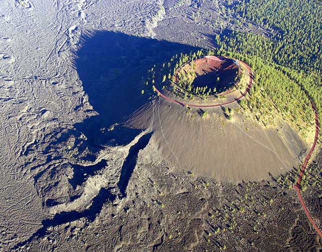
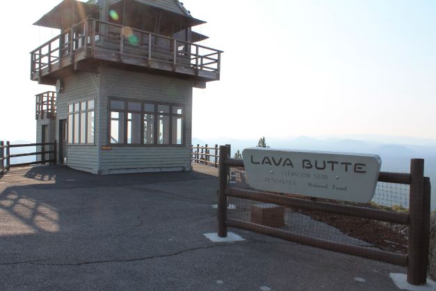
Lava Butte, part of the Newberry Volcano National Monument, was next. The Butte rises some 500 feet and contains a 150 foot crater at the top. From the air (credit to wikipedia), it is quite dramatic.
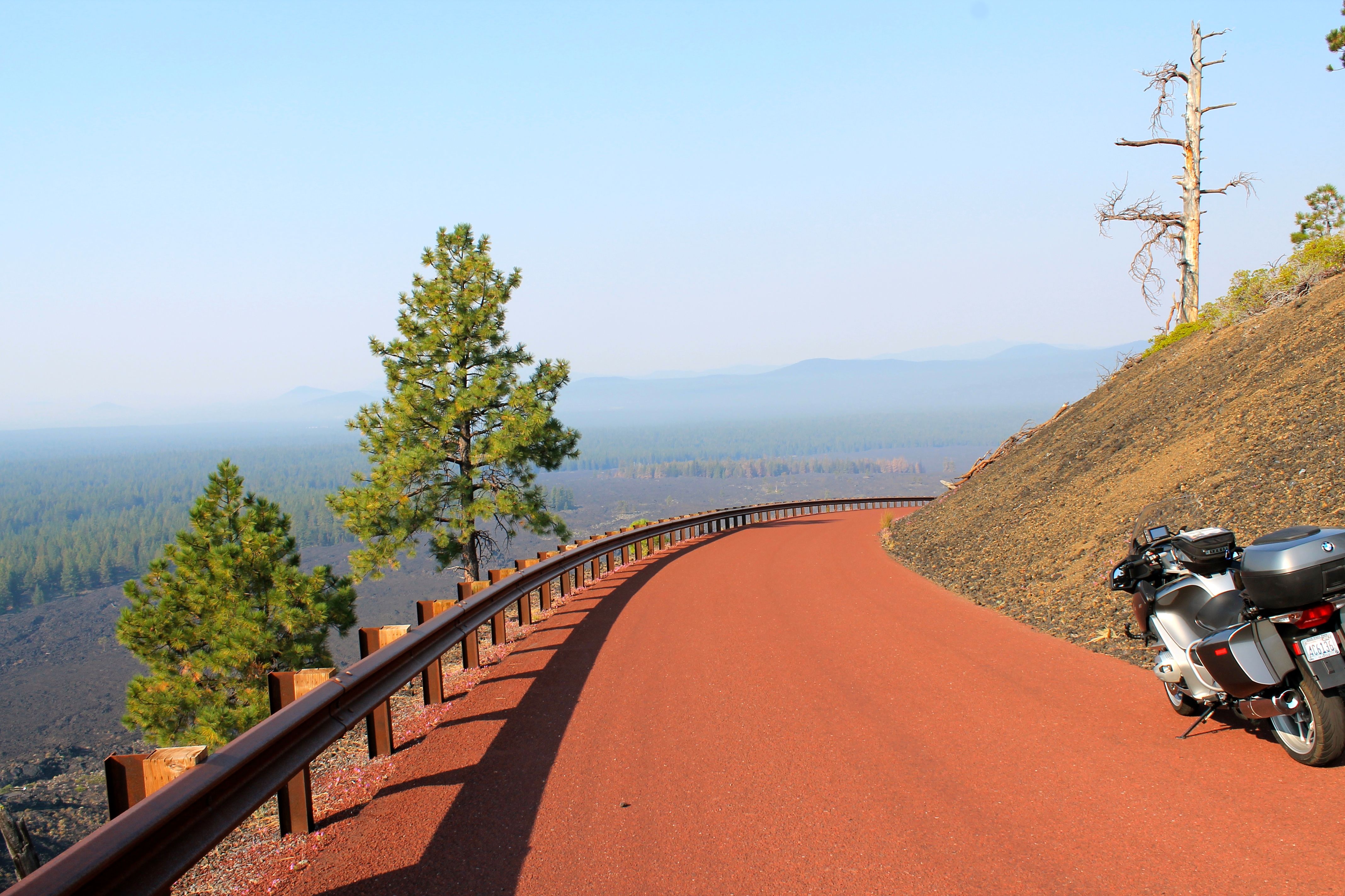
I arrived at 8:45 and had to wait until 9am for the gates to open. But I was able to ride immediately to the lookout at the top using the lava built road that spirals around the butte.
I stopped to take a photo of the road itself, on the way down.
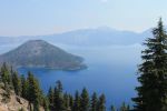
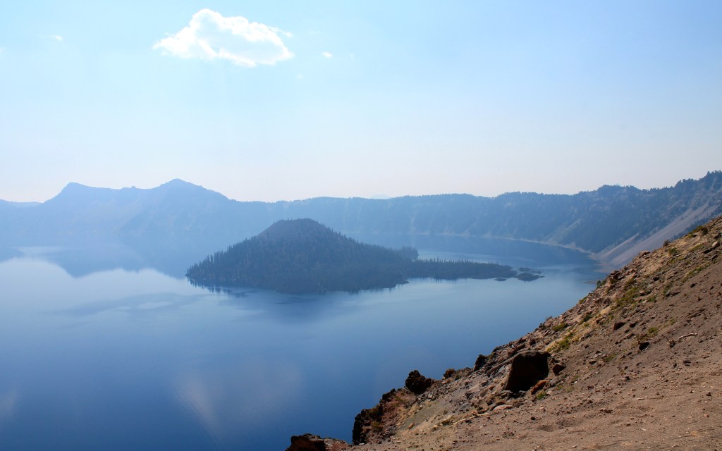
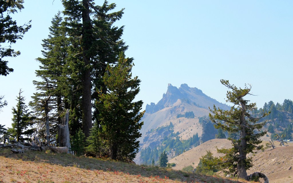
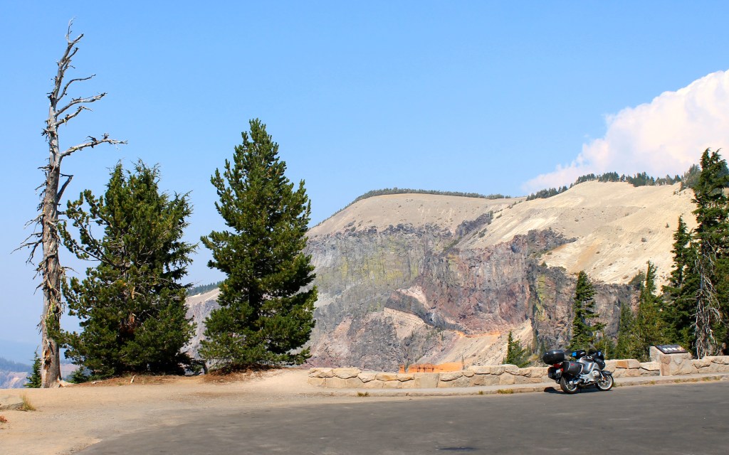
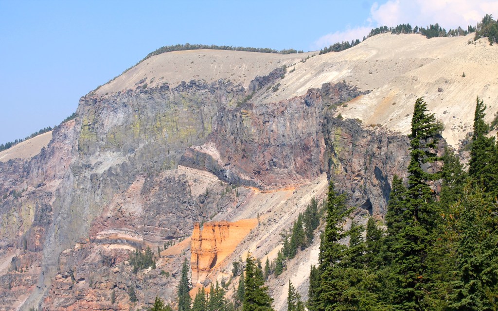
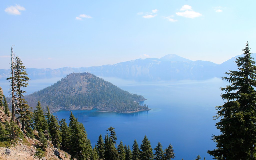
Crater Lake was next. It took about two hours to reach the park’s north entrance. I learned from the rangers at the gate that the road was closed at Paradise Road. This meant a circumnavigation was not possible. However, I discovered there was enough time to travel much of both the West Rim and the East Rim.
There are two islands in Crater Lake. The larger is Wizard Island.
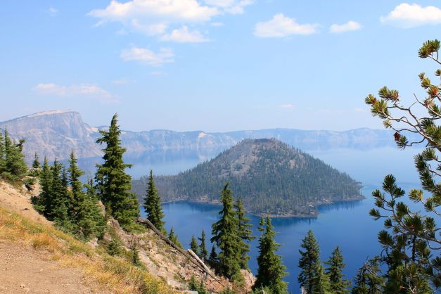
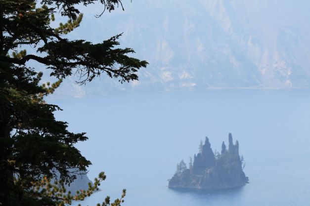
The smaller is called Phantom Ship.
Here’s a photoset of the photos of Crater Lake.
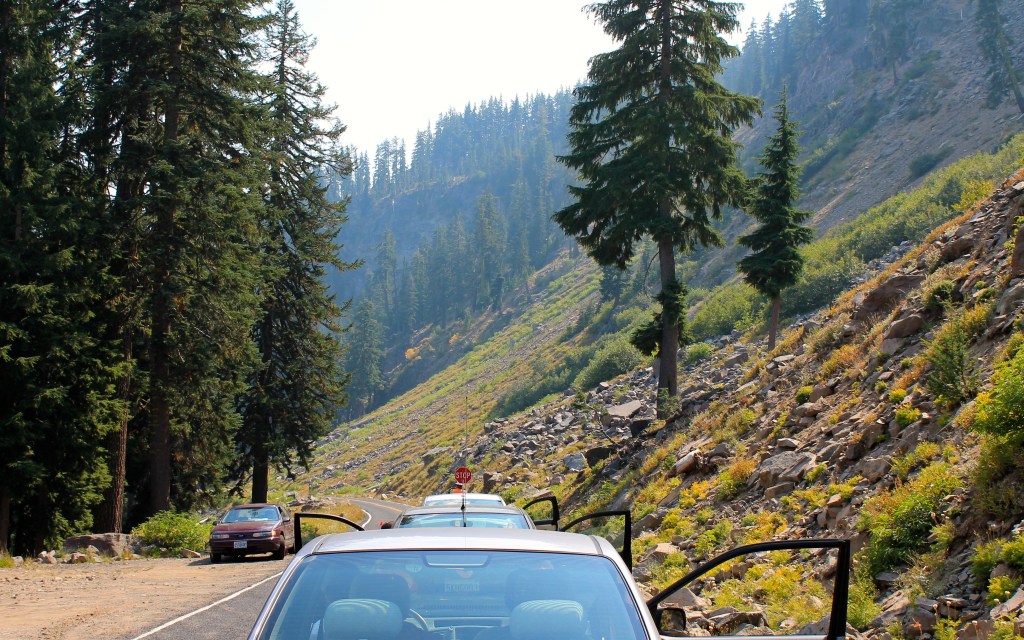
One of the best aspects of the day was getting to say hello to many motorcyclists. David and Mark are from Portland.
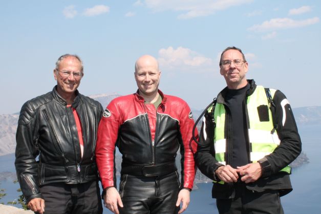
I got some good leads on advanced motorcycle training from David and Mark. I bet I ride with these two at some point.
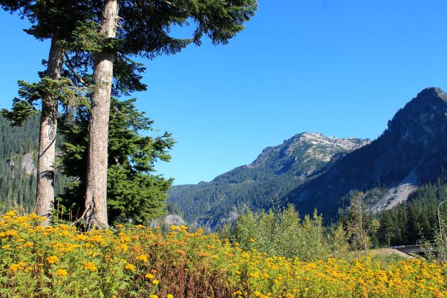
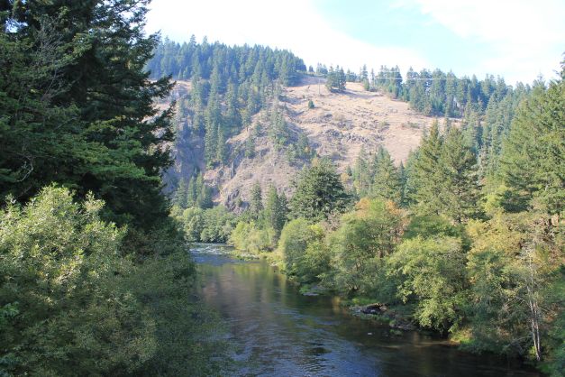
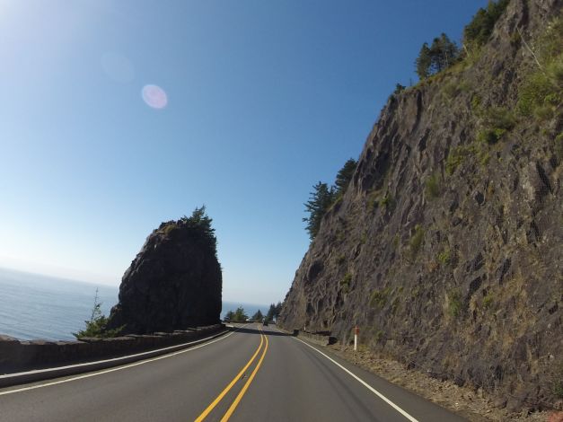
My ride from Crater Lake to Roseburg was fun. I traveled along Hwy 138. Scenic reminiscent of Hwy 12 from Lolo Pass to Lewiston except the road followed the North Umpqua River.
It was a good day. Tomorrow I hit the beach!
Day 3 – Roseburg to Cape Disappointment

Day’s distance: 290 miles
Total trip distance: 906 miles
The weather cooled off as I approached the coast and the air quality improved immensely. Temperatures fell into the 60’s. I felt sprinkles for a few minutes from the clouds over Roseburg when I first departed.
My planned route would take me directly up I-5 into Eugene where I would stop at the BMW dealer to pick up some oil. I was surprised when the GPS unit directed me to take Exit 162 and turn left. It wouldn’t be the first time the unit would take me in the wrong direction, but something told me to trust the Gods of Garmin this time. Turned out it was taking me to Eugene via Territorial Highway. It was a great diversion from I-5. I’ve since found a write-up of the road on oregonmotorcyclist.com. Here is a close up of my route through that section of Oregon.
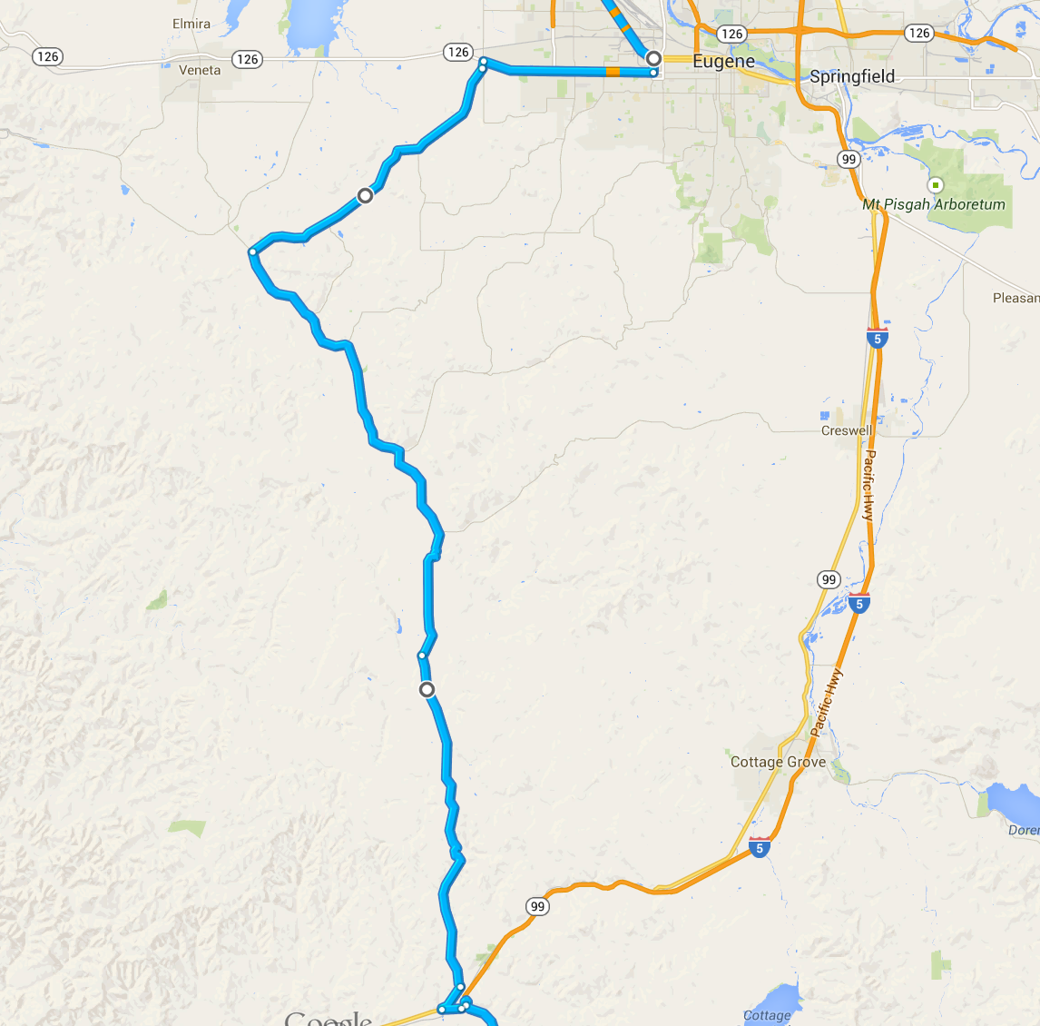
I traveled at conservative speeds through the twists and turns. Logging trucks passed often and there was a flagger stopping traffic at one spot (for a logging operation). Gravel was spotted on a few turns, but overall this road was fun and quite worthy. The Gods were wise and I was happy I followed their guidance.
Territorial Hwy continues to Vaneta, but I took a right turn onto Crow Road into west Eugene. Crow Road took me by a friend’s family farm where I stayed one summer after graduate school. The closest I’ve ever come to hitting a deer at night was on that road back in the summer of 1987.
After I finished in Eugene, I continued north on Hwy 99 for a while. Hwy 22 from Salem to the coast was next. It has been on my bucket list since I found this article on motorcycleroads.com describing the route. This route actually was programmed into my Garmin 🙂 The northern-most section above Hwy 18 was the most fun.
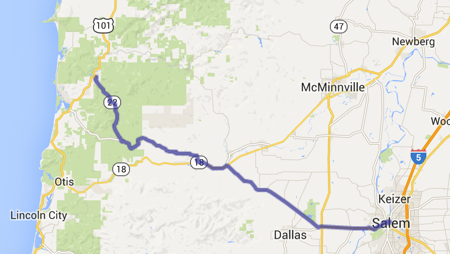
The two minute video below provides a sense of the Hwy 22 north of where it crosses Hwy 18.
Before I knew it, I was at the coast along 101.
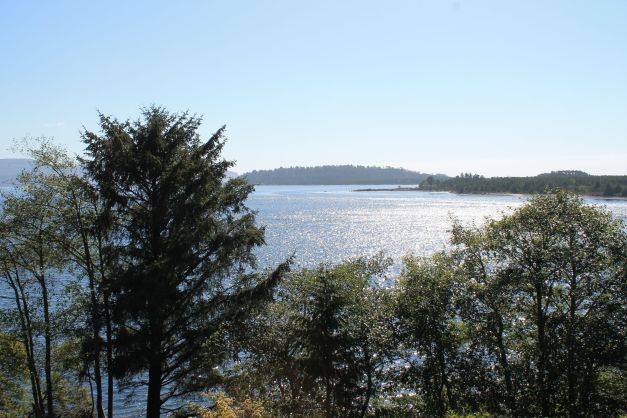
I crossed the Columbia River at Astoria and camped at Cape Disappointment. This is where I stayed on my first night of the Western States Tour.
Day 4 – Cape Disappointment to Seattle (Last Day)
Day’s distance: 192 miles
Total trip distance: 1,098 miles
The weather was cool and overcast until reaching Seattle. Temperatures were in the 50’s mostly.
Today’s ride was along familiar roads. Leaving Cape Disappointment, I had to make my way north on Hwy 101.
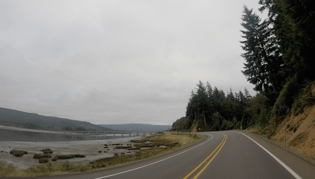
I decided to travel between Hwy 101 and I-5 along Hwy 6. It is another two lane highway in good shape with little traffic. It travels past several small towns, like Pe Ell. Traffic on I-5 north was heavy but moved quickly and I was home by noon, safe and sound.
This was a fun short trip.
Reflections
In many ways the 2014 Trip to Crater Lake ride feels like it marked the end of summer for 2014. It was in May that the bike received its 6,000 mile service and I’ve scheduled an 18,000 service for later this month. While I ride throughout the year, this has been a remarkable summer of riding.
My comfort on the bike and the comfort I feel handling the bike on challenging roads, during inclement weather, and in heavy and/or fast moving traffic have improved significantly this year. While I still frequently allow cars and other motorcycles to pass me, I have passed a few slower moving vehicles myself. I am trusting my tires more and leaning farther into turns, as evidenced by the wider wear pattern on this set of tires than my original. Deciding what to pack for a trip is easier and I have the cases necessary. I have taken trips that were longer and farther than a majority of bikers.
I’ve met some great folks on the road. I’m certain I will ride with many of them again. I really like the community of bikers I’ve encountered during my trips. Blogging my adventures, new to me this year, has helped me create a record of these trips that reflects my personality and provides a base for connecting to others. As the execution of each trip becomes somewhat more routine and less overwhelming, I’m beginning to share more personal aspects.
Being in the moment, experiencing new places, and putting myself out there by traveling alone have all added to my quality of life.
In the coming year, I want to continue to travel but also take some additional training with the goal of improving my skills and safety on the bike. I will review the gear I’ve purchased to date and see what is working and what needs replacing. Finally, I will likely plan to attend a (smaller) rally to really expand my sense of community.
I’ve said it before but it is worth repeating – I live a charmed life. 🙂
Ride safe, everyone !

Great blog, thanks. We travel many of the same routes and places, great minds think alike !
LikeLike
Thanks, Don. From your blog, I do see that we’ve traveled some of the same roads. Hope to see you out there this year!
LikeLike