
Sunny and warm with light winds, gusty at times. Temperatures ranged from mid 60’s to mid 80’s.
Day’s distance: 317 miles
Total trip distance: 12,566 miles
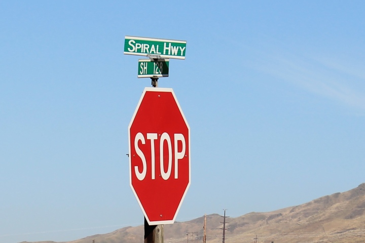
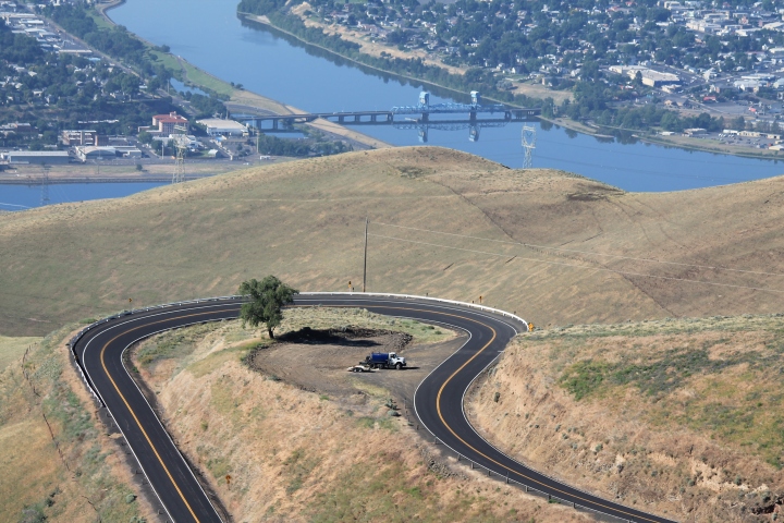
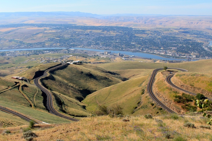
My GPS had routed me out of Lewiston via I-95 North. I knew from my previous visits to Lewiston that there was an alternative route to the top of the hill north of town called the Old Spiral Highway.
I decided to use the alternative as it is known by the locals as a fun motorcycle road.
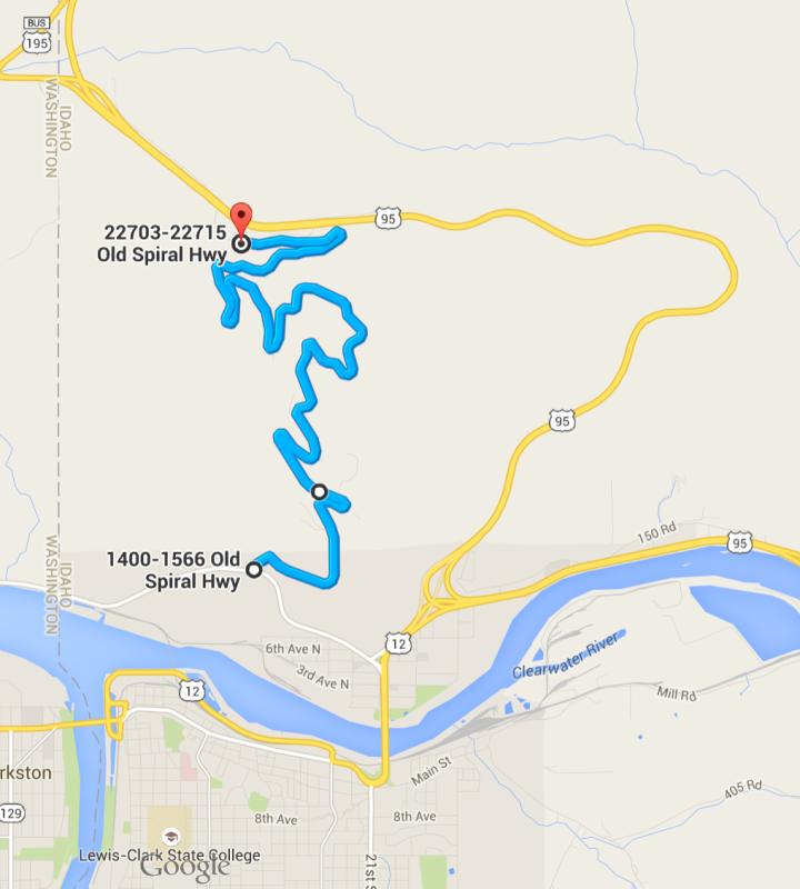
It was a fun diversion.

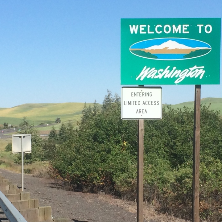
Leaving Idaho shortly after, I was headed home.
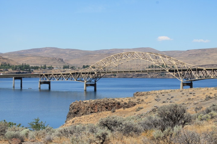
I crossed over the Columbia River getting onto I-90.
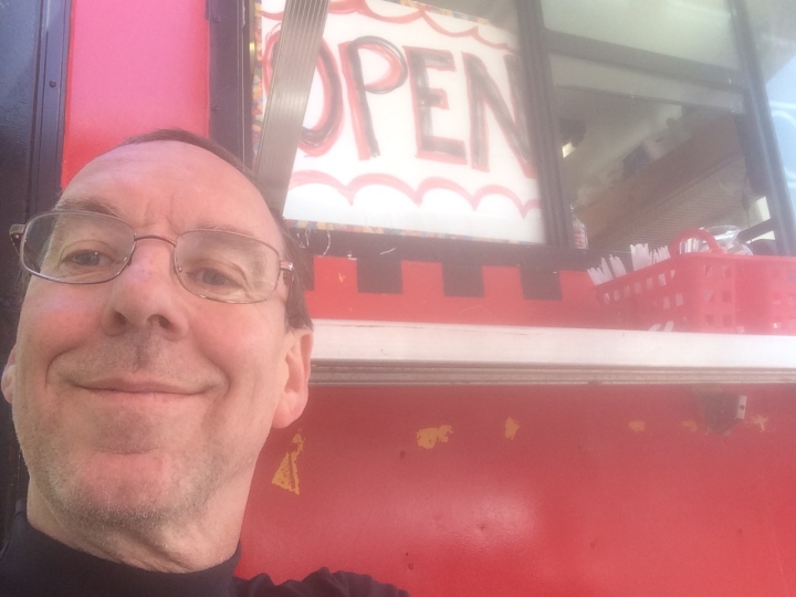
From there, it was a straight shot home, with one diversion to my favorite Seattle Taco Truck for a burrito 🙂
I will post my reflections about the trip in the next few days. There is one thing I can definitely say now, though – it was an amazing and worthwhile trip.

I followed your trip daily, it looked wonderful. Glad you and your bike flourished on the road.
Mark
LikeLike
Thanks, Mark. Hope you are doing well and I hope the remodel came out super!
LikeLike
What a blast! It was great fun reading your daily posts and seeing so many cool and new places through your photos. I am happy you made it home safe and sound. 🙂
LikeLike
Jaemie, thanks much. Can’t wait for the next trip !! I think it is going to be a ride to Hyder, Alaska in July.
LikeLike
I can hardly believe that I’ve read 65 days of your blog. It was entertaining to see the map and get a bigger sense of where you were traveling each day.
Welcome back to Seattle!
LikeLike
Thanks, Len Bob! Glad you enjoyed it – I enjoyed having you ‘along’ with me. 🙂
LikeLike
Man, that was a cool ride. I would never have even known about this if you and my folks hadn’t met early on.
LikeLike
Thanks, Dennis! I really enjoyed meeting your folks and subsequently riding with your Dad. I’ve enjoyed your comments and your support.
LikeLike