The weather was sunny and warm. Temperatures started in the high 60’s and hit the high 80’s near Lewiston.
Day’s distance: 277 miles
Total trip distance: 12,249 miles
I had a relaxed day on the road without really interacting too much with other folks. I’ve noticed that as I get closer to home, I haven’t been engaging with others as much as earlier in my trip.
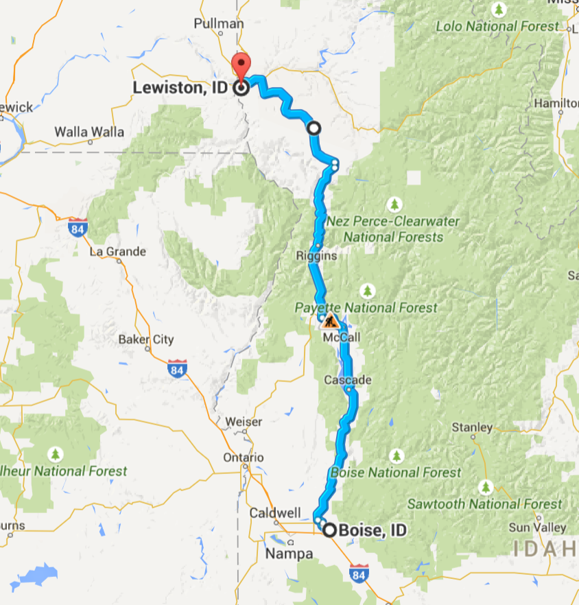
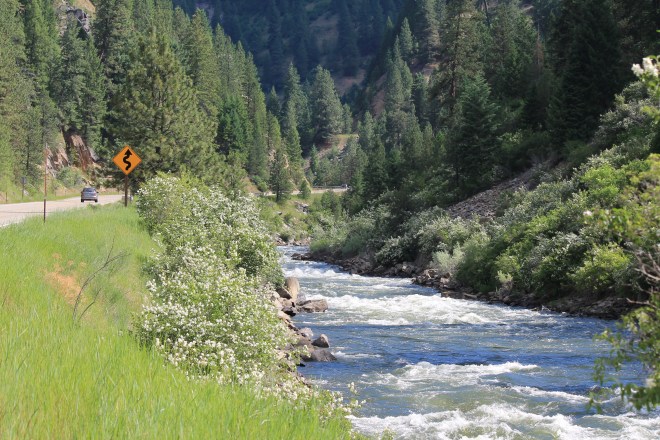
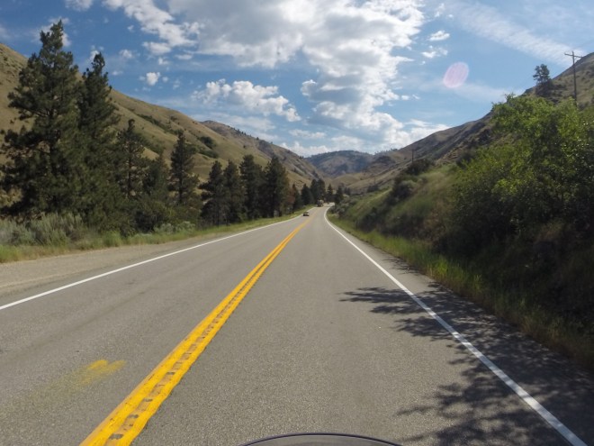
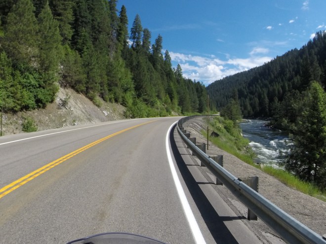
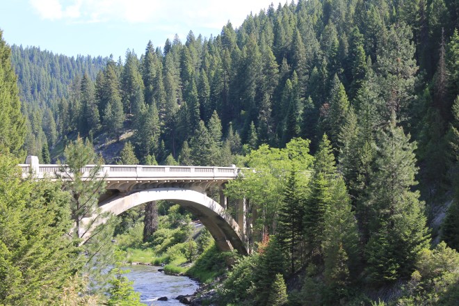
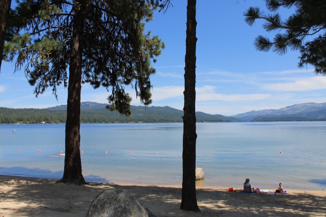
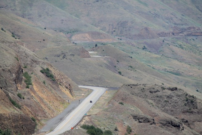
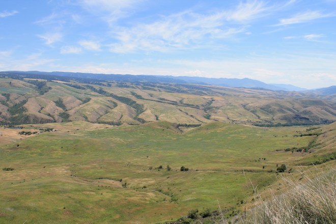
My route took me north through canyons along the Payette River and the edge of the Boise National Forest (Hwy 55), then past Hells Canyon National Recreational Area, the Salmon River, the edge of the Payette National Forest, and the Nez Perce Reservation as I approached Lewiston (Hwy 95).
Speed limits were mostly 55 or 65 and the road surfaces along the entire route were in good shape and used by both cars and large trucks, sometimes leading to a “parade of cars” following someone who is moving more slowly. When this happened, I usually just pulled over and waited for a few minutes to let them get well ahead of me.
Below are some photos taken through the day.

Tomorrow is my last day of the tour. I didn’t feel like camping once I arrived in Lewiston, so I stayed in a motel with a pool. 🙂
