Distance: 320 Miles
Time to Complete: 10+ hours
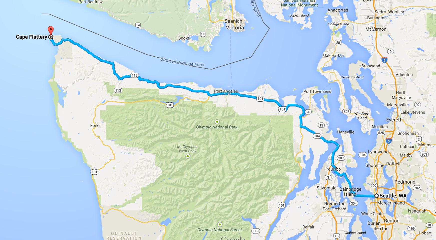
With unusually warm weather predicted for this past Sunday, Will and I took the opportunity to ride to Cape Flattery, the northwestern-most point in the lower 48 states. The route I chose begins and ends with a ferry ride between Bainbridge Island and Seattle. It takes Hwy 305 north, then Hwy 104 west, Hwy 101 north, and Hwy 112 west to Neah Bay. To finish, it takes Cape Flattery Road and travels along Makah Bay to the end.
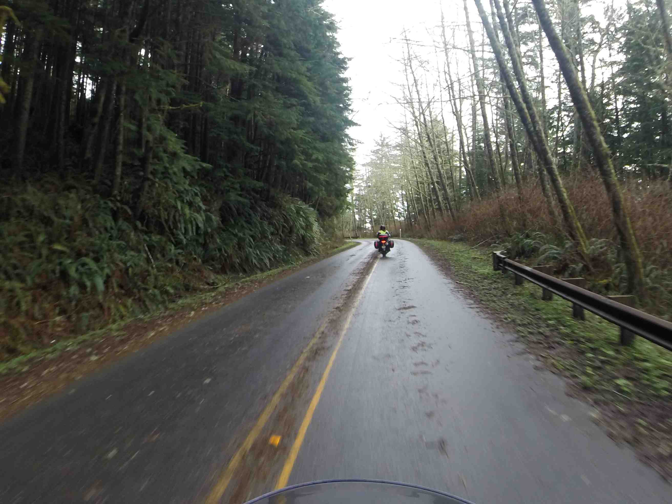
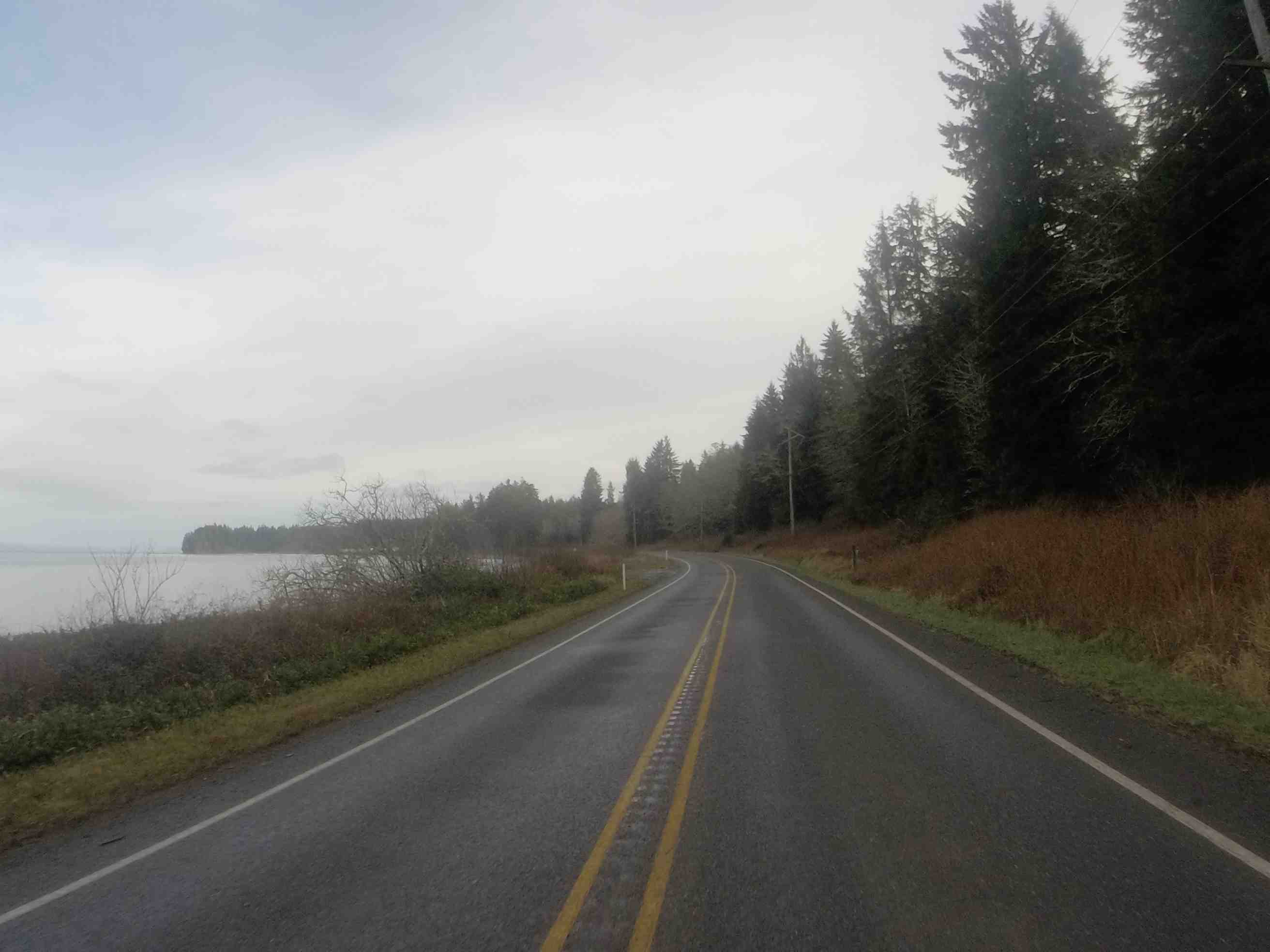
Highway 112 is a sometimes-twisty two lane road next to the Juan de Fuca Strait. You’re likely to find surfers as well as fisherman parked along the road. On this day, we found road debris (leaves, needles, and small branches) still on parts of the road from recent storms.
There were also some areas of recently repaired roadway that could use additional attention, though the problem areas are generally well marked by traffic signs and the speed limits are conservatively reduced.
There are a few places to eat in Neah Bay, depending on the time of day. We had some wood-fired pizza at Linda’s. Recommended if you’re in the area and craving some pizza.
The weather wasn’t quite as sunny or warm as expected, but the day was pleasant. We saw some clearing of the sky on our return trip.
Notes:
(1) The trail at Cape Flattery from the parking lot is about 1/2 mile in length. No pass required.
