
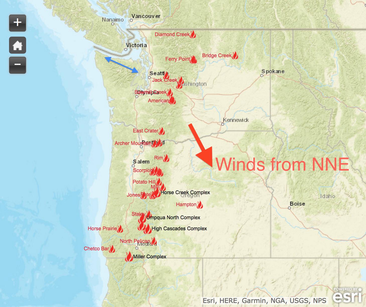
The fire season this year seems to be impacting mountain ranges throughout the Western US.

Zooming in on the Northwest and thinking where I’d like to ride next while still avoiding forest fire smoke, I thought of traveling to Cape Flattery. I wouldn’t be impacted by smoke from US fires and the weather predicted clear skies early followed by increasing clouds.
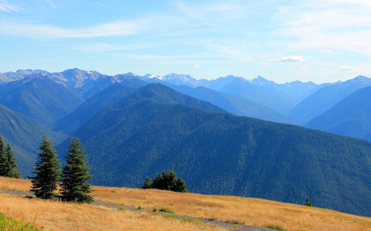
Specifically, I would ride Hwy 112 out to Neah Bay and then continue beyond to the Cape Flattery Trailhead. On the return trip, I would detour in Port Angeles to ride up Hurricane Ridge to the visitors center area.
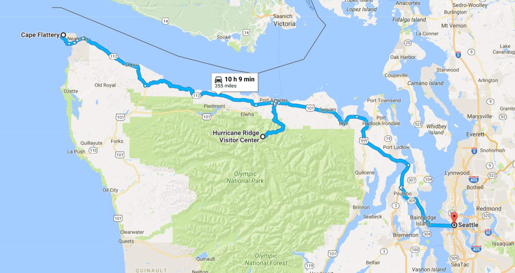
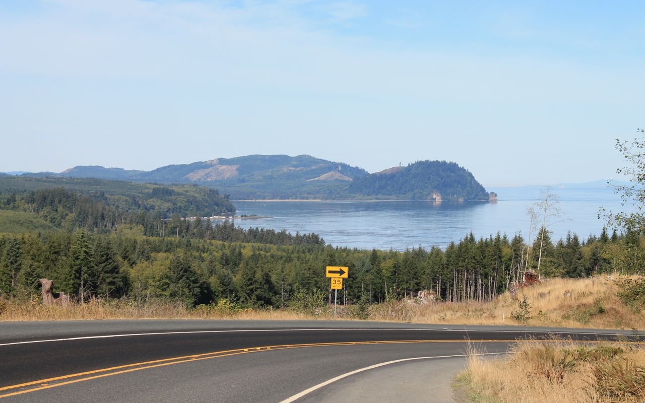
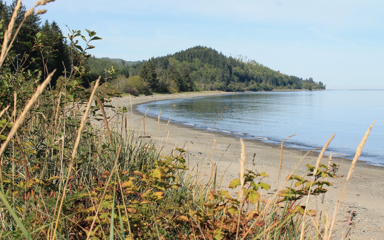
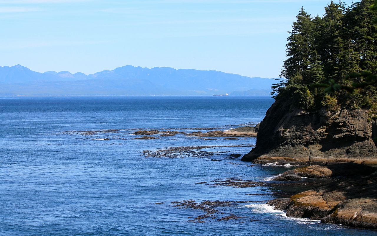
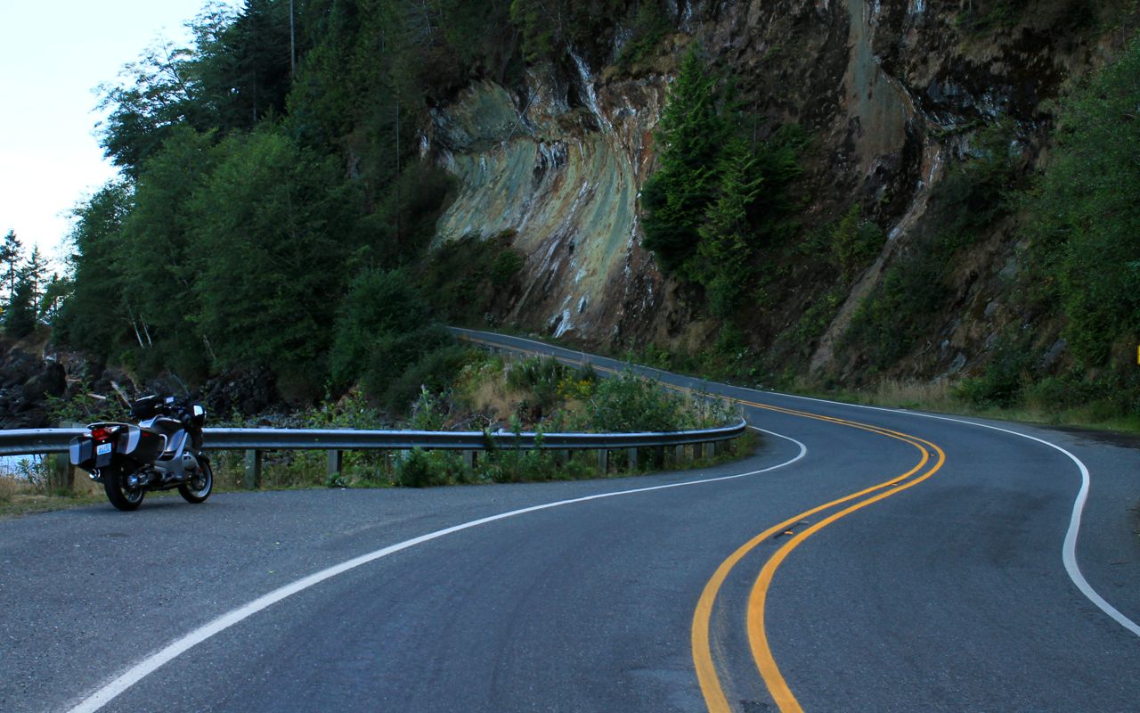
Cape Flattery is the northwestern-most point in the continental US (source). You get there via Hwy 112, a decent motorcycling road with twists and elevation changes along the scenic shoreline of the Strait of Juan de Fuca finishing on Makah tribal lands. Check out their site for photos of the area.
This would make for a long day so I would have to get an early start.
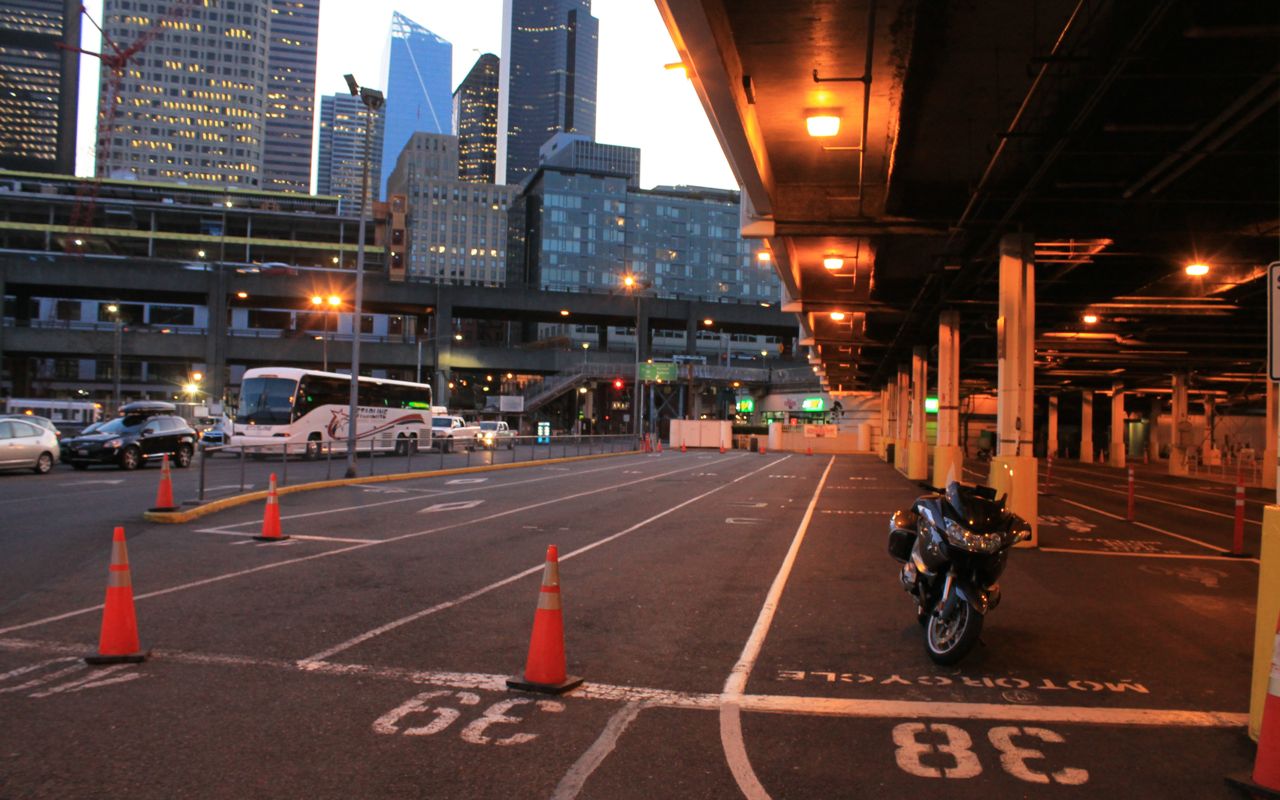
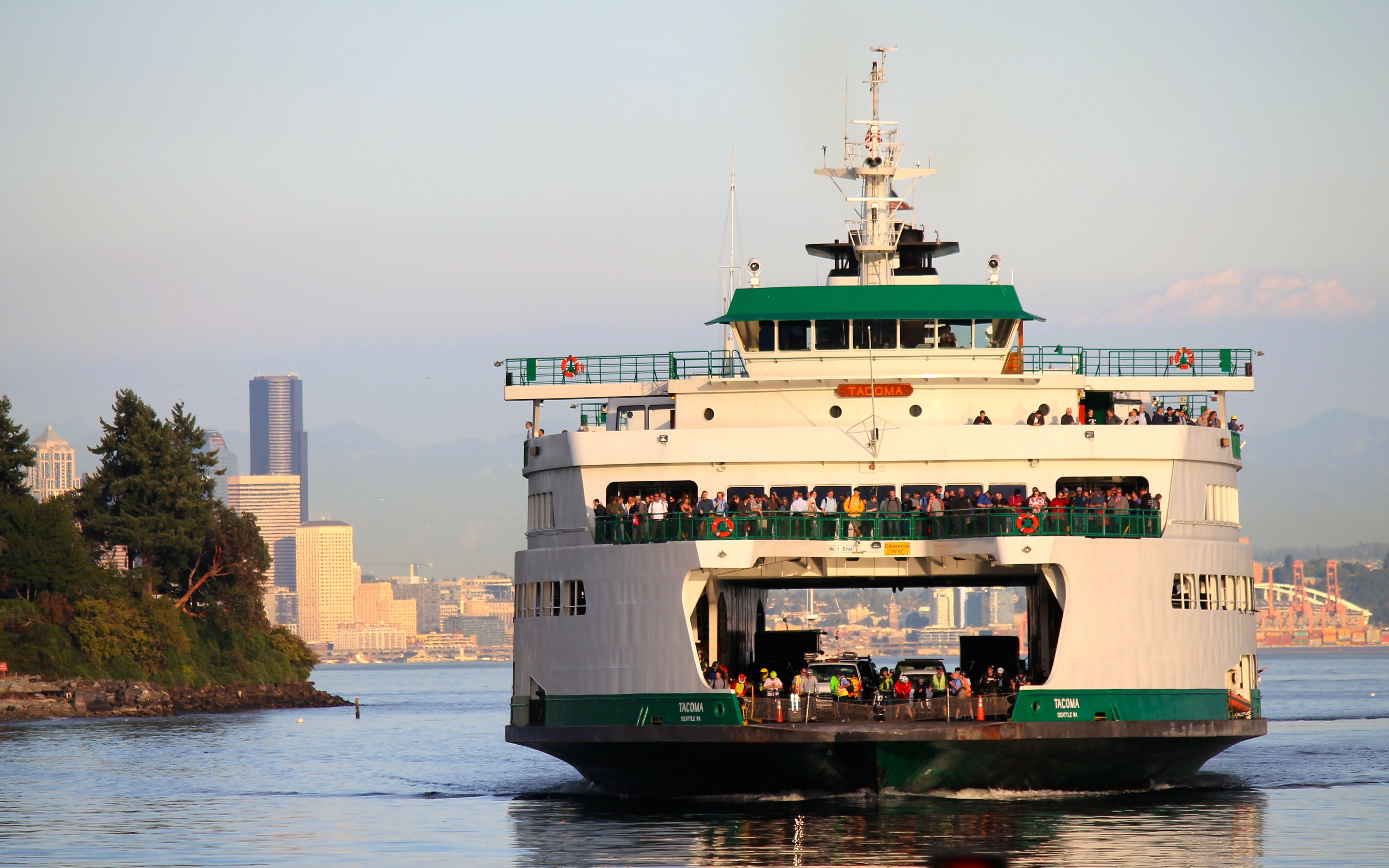
I arrived at the ferry terminal in time for the 7:05am departure to Bainbridge. I hoped to return before dark. Long summer days have been replaced by ever shorter days, so this was pushing it a bit at both ends, morning and evening.
My day’s latte stop was at Adagio Bean and Leaf in Sequim, just east of Port Angeles. Awesome latte, savory breakfast sandwich and apple turnover for later. It is a drive up but also has copious inside seating and some outside, too.
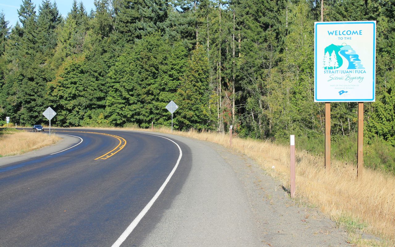
I found the road surface of Hwy 112 in great shape with much of the eastern half or so fresh.
Traffic on this day consisted of a lot more logging trucks and campers / RVs than you would expect to see. Apparently there was a detour of traffic off Hwy 101, which roughly parallels Hwy 112 to Port Angeles from points west. I did have some time when I could imagine I wasn’t sharing the road, but also there were times when it felt like a parade.
The risk with long trucks sharing narrow twisty two-lane roads is that the trailer can intrude into your lane if you pass each other on the corners. The trucks I saw were all on their side – no close calls, but I change my lines in these circumstances.
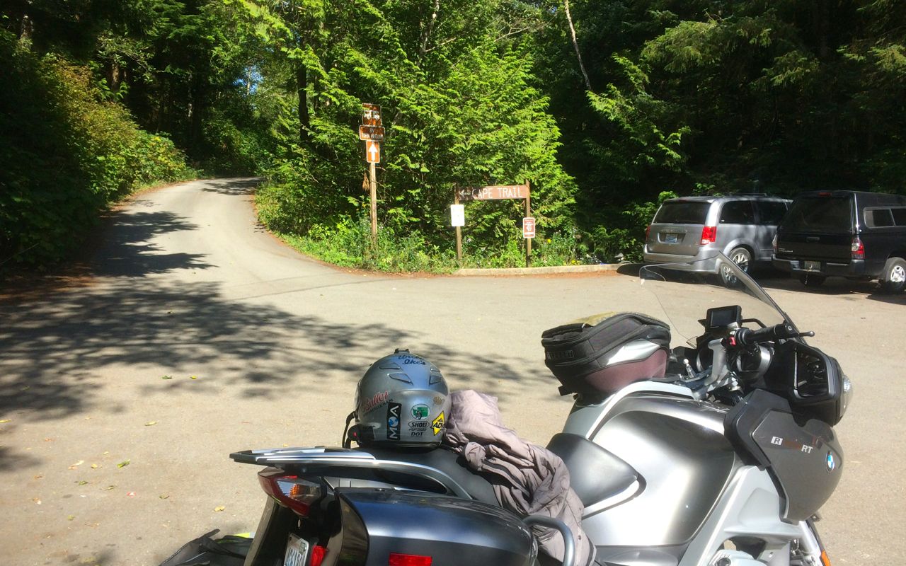
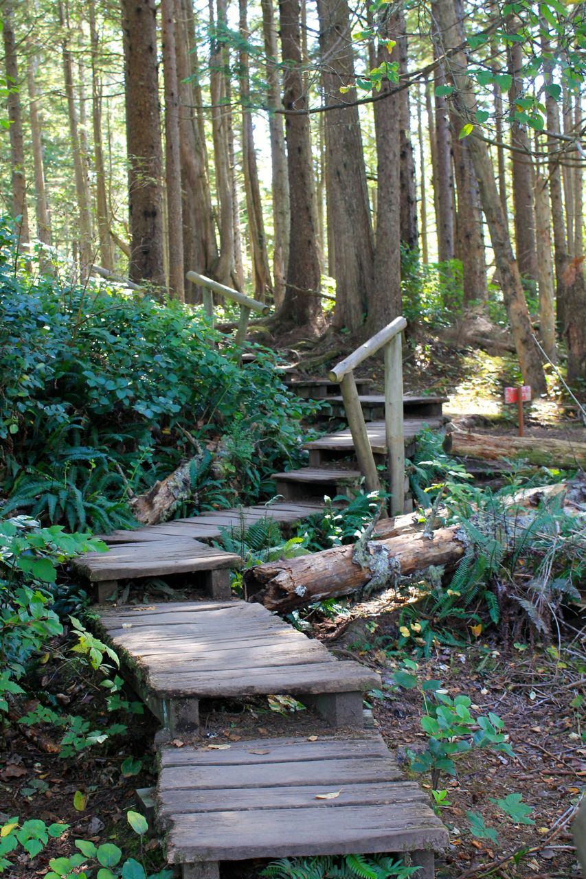
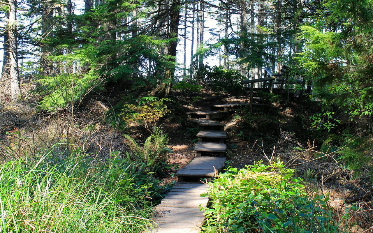
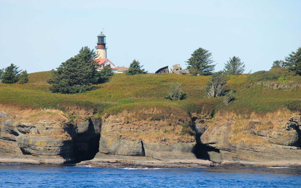
Soon I arrived at the Cape Trail.
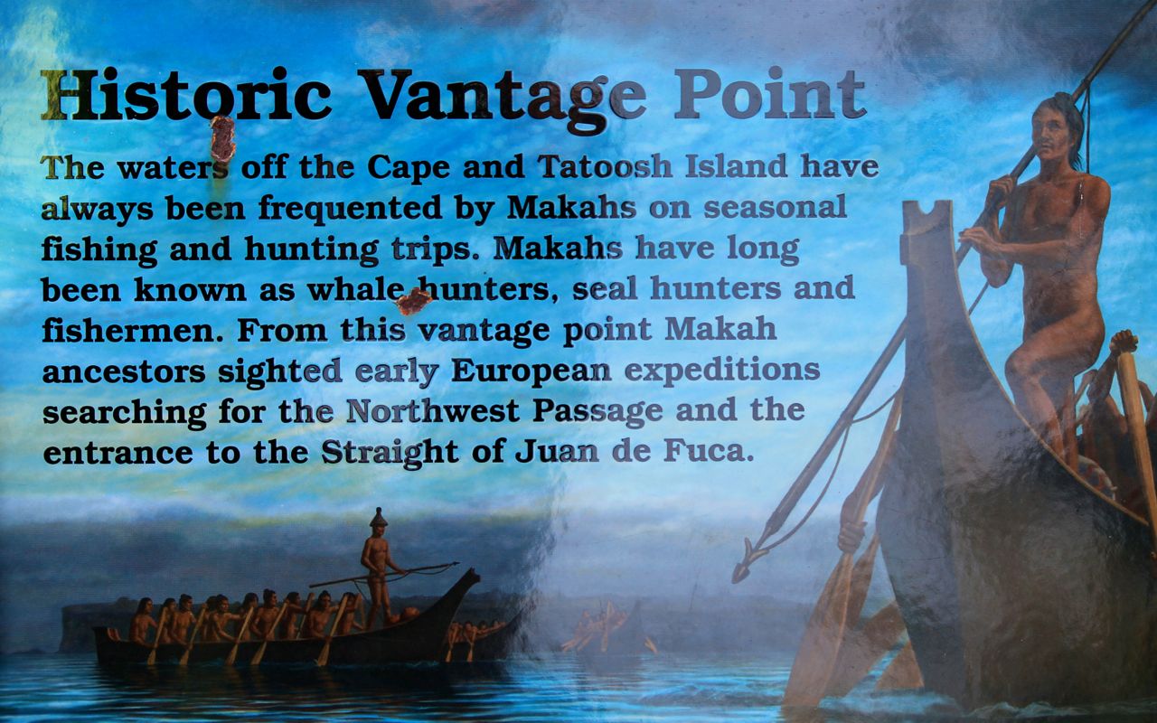
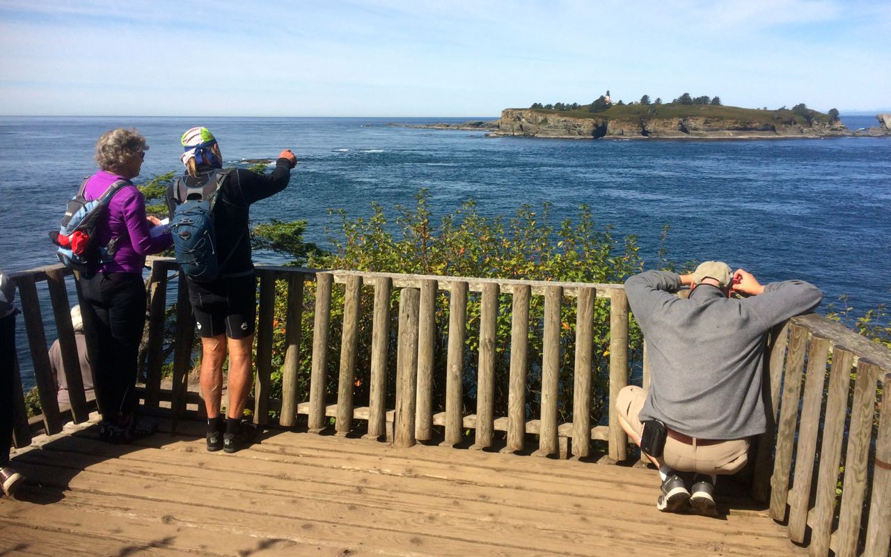
Just offshore is Tatoosh Island, name after the Chief Tatoosh of the Makah.
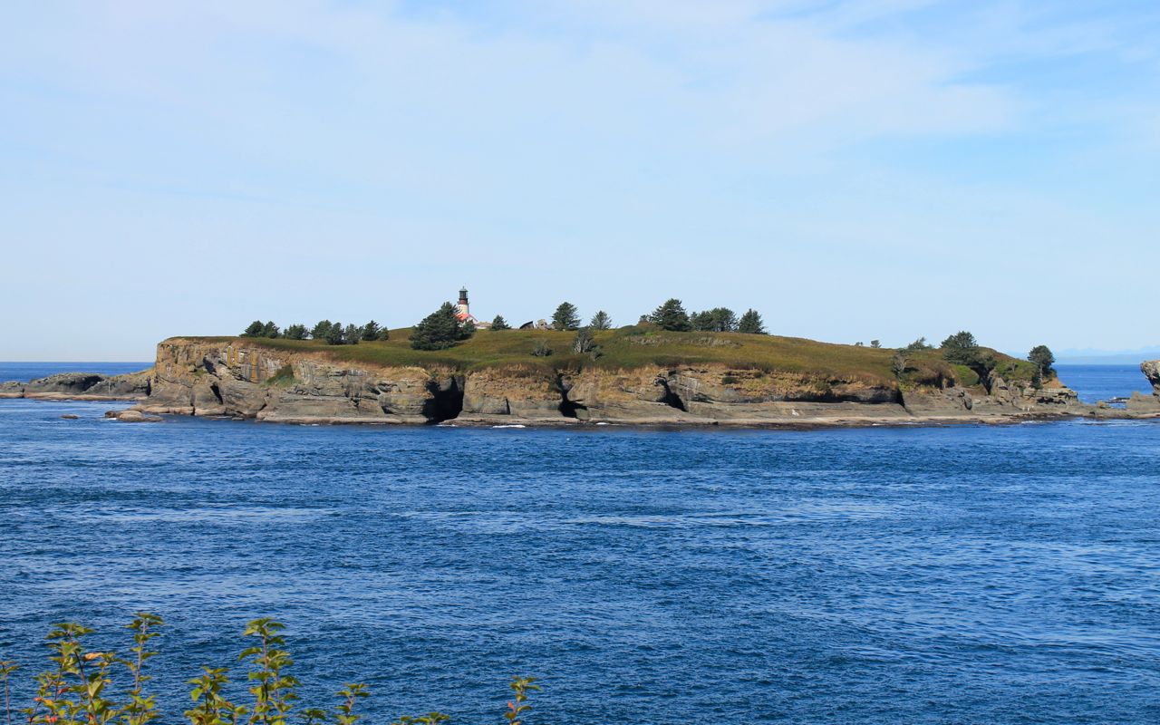
The lighthouse on the island is no longer active, being decommissioned in 2008 by an automated beacon (source). The island is private property under control of the Makah tribe nowadays.

I posted a 360 degree photo from the Vantage Point to my Facebook account.
I hiked back to the bike after eating the apple turnover I bought with my latte. It was a great pick-me-up to get me back up the hill to the bike. Soon enough, I was headed back towards Seattle.
I rode up Hurricane Ridge on the way home. It was pretty clear with only some haze. I posted a 360 degree photo to my Facebook account.
It was about 4pm when I reached Port Angeles again. I turned east onto Hwy 101 and headed towards Bainbridge to catch the ferry home.
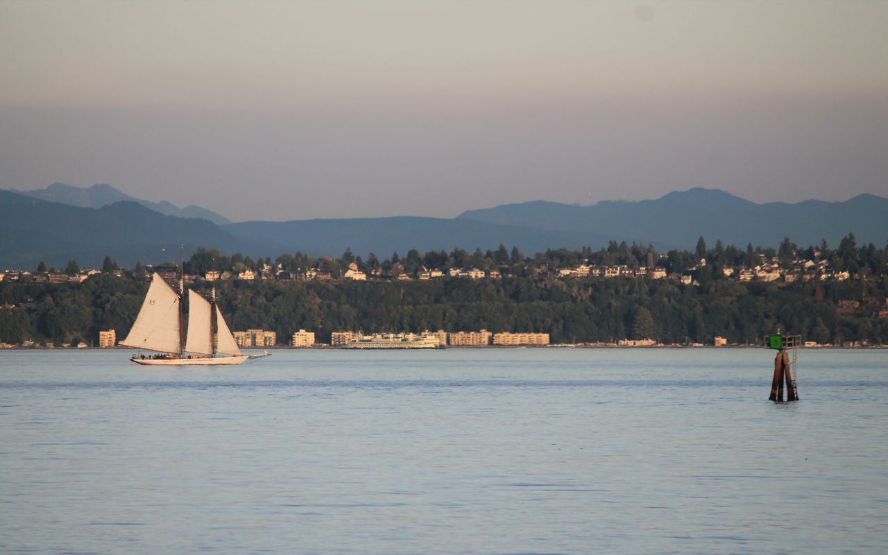
Who can resist taking photos of sailboats while on the ferry.
Another good day in the saddle.

Looks like you had gorgeous weather for your ride! My favorite time out in the Olympics is early fall. I once caught Sol Le Duc after an early October rain, and the entire trail was burgeoning with mushrooms that I had never encountered before. Thanks for the day ride, Keith!
April
LikeLike