
Day’s distance: 258 miles
Total trip distance: 996 miles
Today’s high temperatures were much lower than the past two days with temperatures starting the low 50’s and staying in the 60’s. Cloud cover was significant and I ran into one rain shower that lasted about 15 minutes.
I woke up early but did not rush to get on the road as this was going to be a shorter day. I pulled out of the motel at about 9:30am. The plan was to get a latte in Carson, WA before heading north into the Gifford Pinchot National Forest, along Hwy 30.
I crossed into Washington at Cascade Locks using the Bridge of the Gods. To see what the area looks like on a sunny day, check out the short video I made from a previous trip.
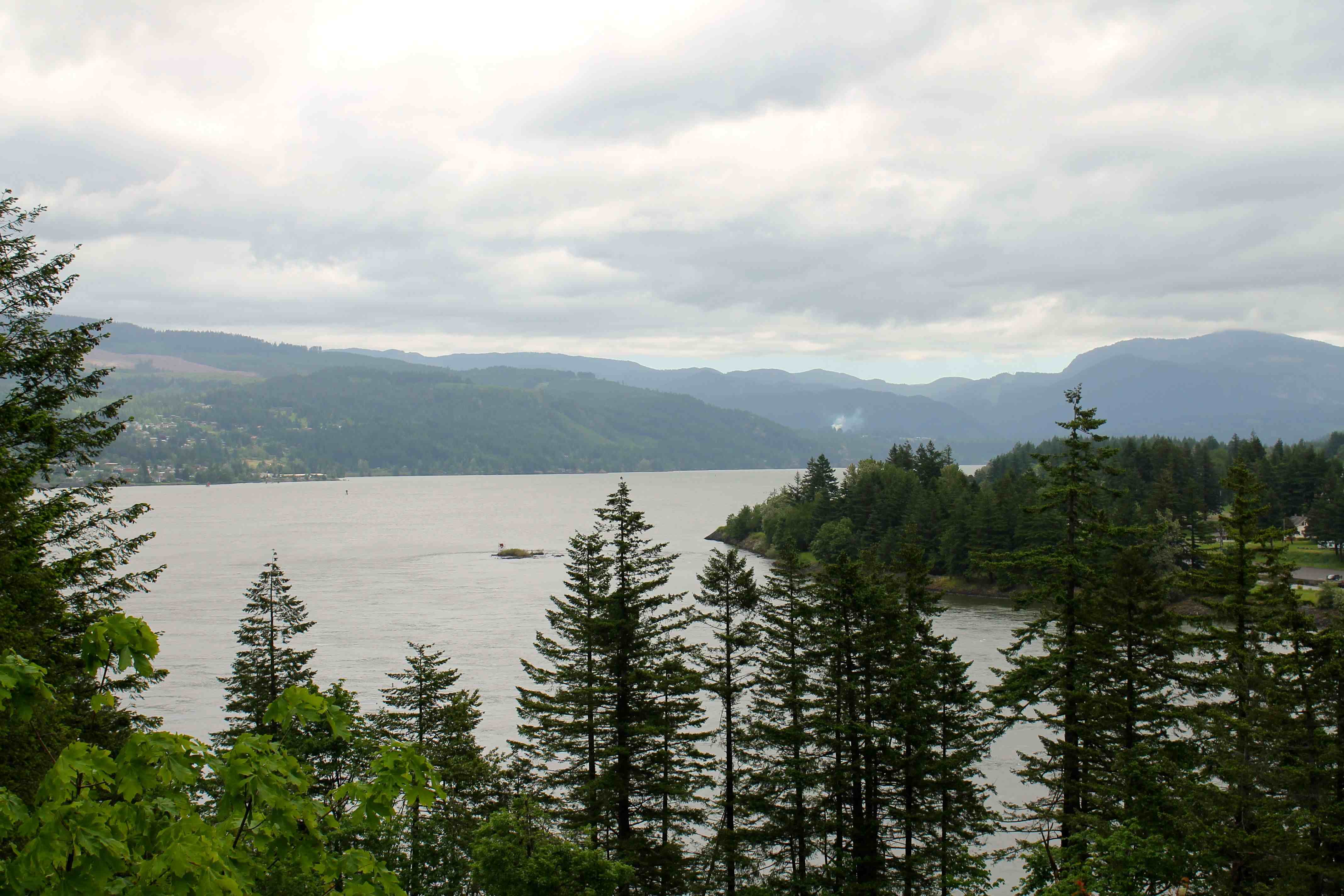
Here’s a photo I took today looking east towards the Gorge from the Washington side.
After my latte stop in Carson, I headed north along the Wind River Highway.
Before leaving the motel, I did a few internet searches to ensure the roads between Carson and Randle were open. I found no notices otherwise, but I had lingering doubts as the roads around Mt. Rainier were not open yet.
Well, it wasn’t too long before I came across a road crew and I used the opportunity to confirm I could get to Randle. Good thing I asked because the best information they had was that my route was closed at higher elevations.
With conflicting information, I decided to turn around now. If I was forced to turn around later, it could require hours of backtracking to find an alternate route home.
I hopped onto Interstate 5 near Vancouver, WA. Despite traffic and the brief rain, I made it back to the house in time for a short nap before dinner.
I’ll write up some reflections on the trip over the next few days. I will say, as always, it’s good to arrive home safe and sound.
