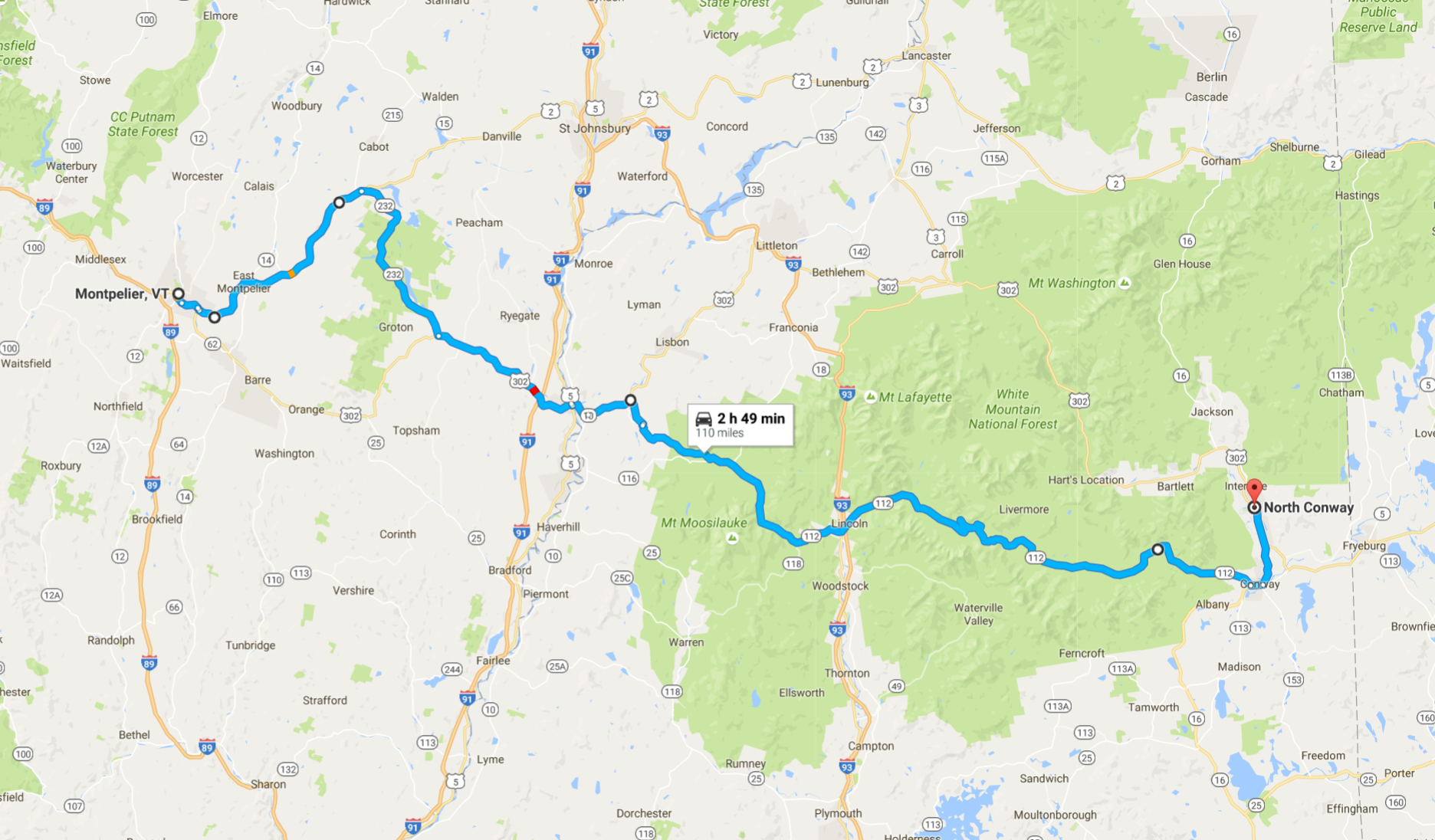
Day’s distance: 121 miles
Total trip distance: 4,181 miles
Temperatures ranged from the mid 60’s to the lower 70’s. The rain showers predicted for the afternoon arrived early. The heavy winds predicted in the Conway area did show up in the afternoon, as predicted, but I was already off the bike.
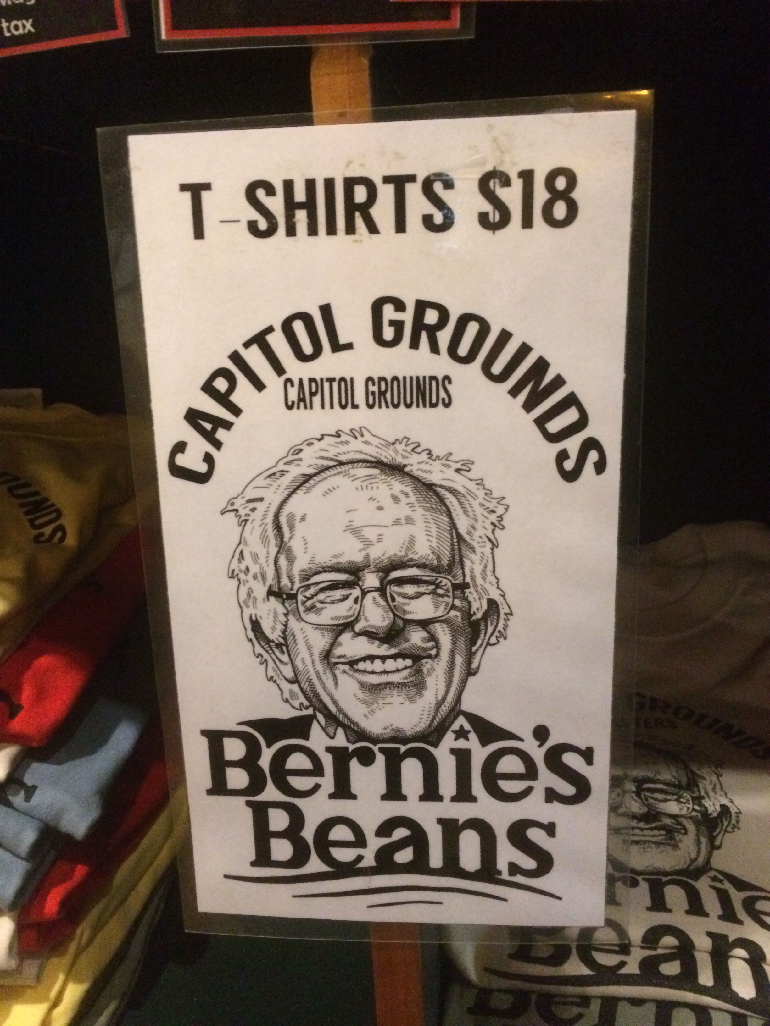
Like most of my days, I first seek out a latte, if possible. I went straight into Montpelier and found Capitol Grounds Coffee without even needing my GPS. The force is strong with this one. 🙂 This is a Bernie town, it seems.
By the time I was finished it was already raining lightly, but the roads would be wet all day.
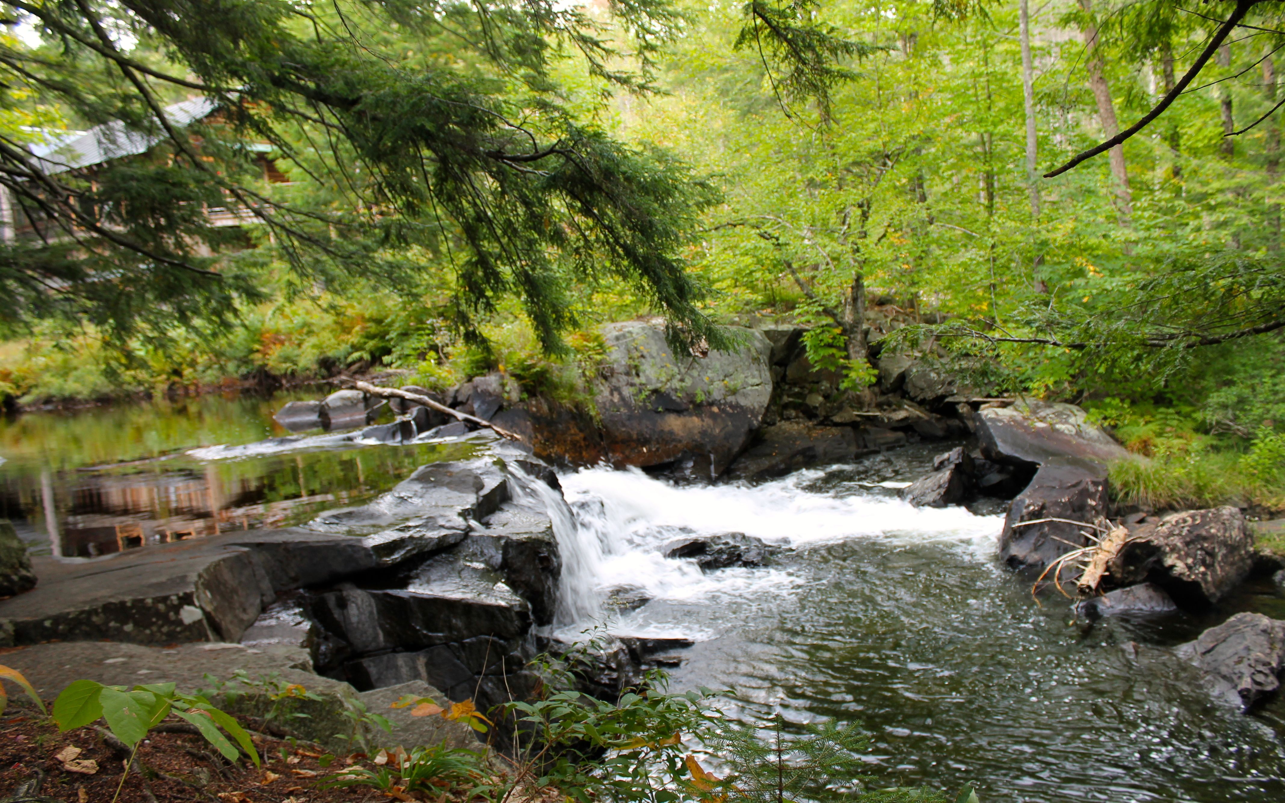
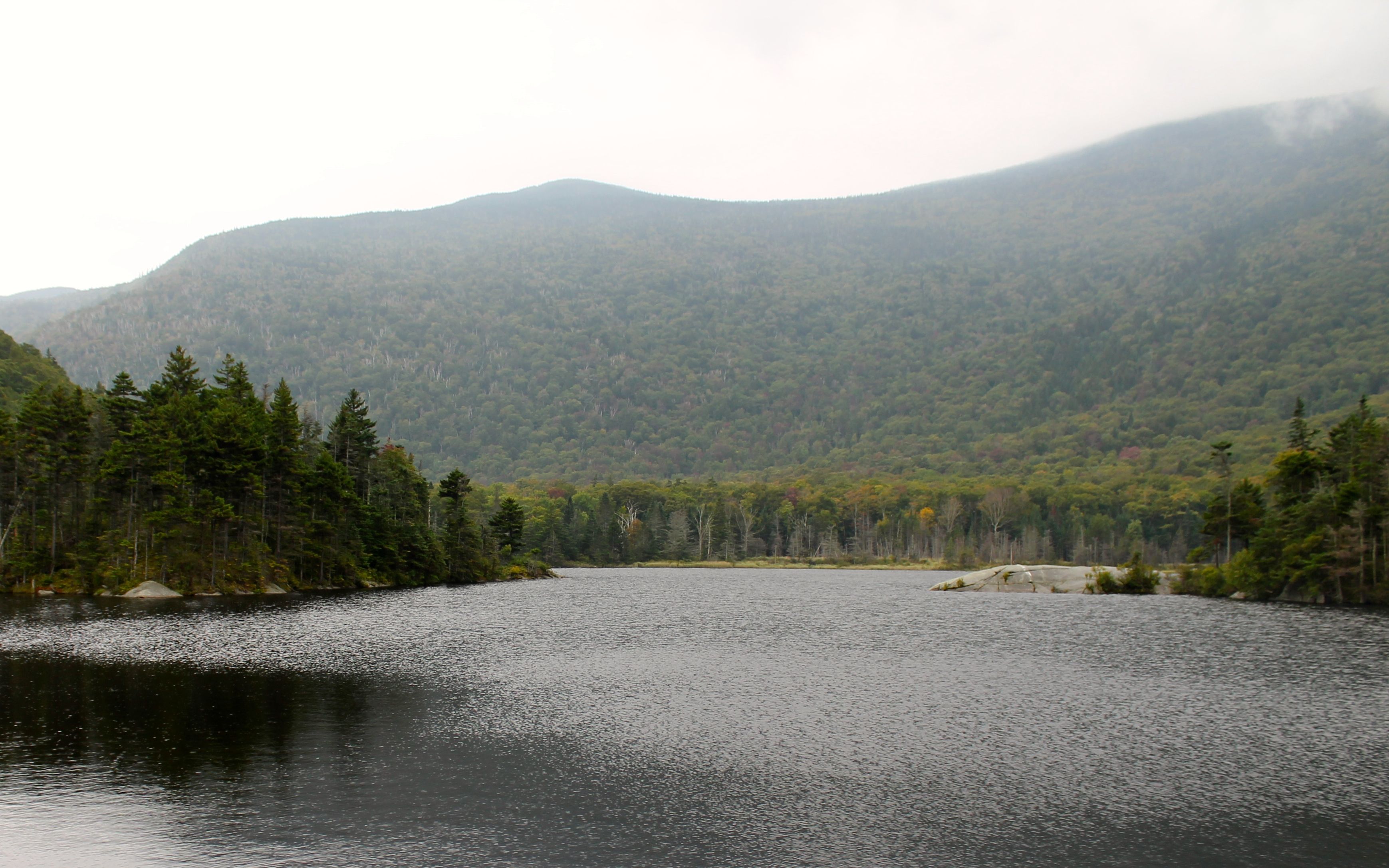
My route took me past Groton Lake on an unexpected detour thanks to my GPS. Usually I know when it is taking me off my route, but this time it took about 4 miles to figure it out. The big clue was turning into a State Park.
Apparently, when I click and drag changes to my route (much like you do on google maps), it added a via point. But then it took me four miles out of the way before it was going to have me turn around. 😦
I did get a couple of photos from the detour.
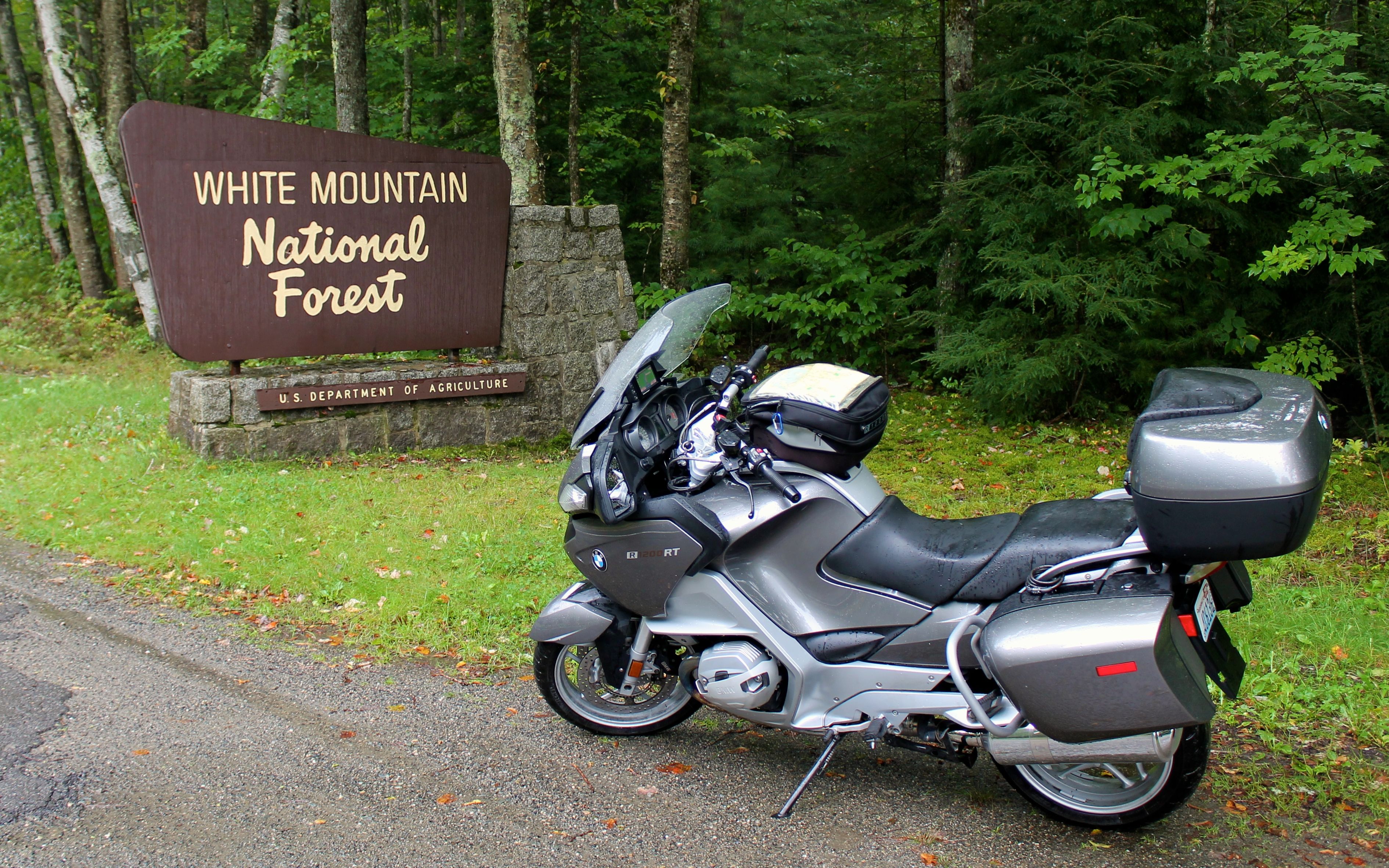
On my way to the White Mountains, I managed to cross the state line without even noticing and found myself on a road with a Walmart, so I stopped to purchase four more Mountain House camp meals.
The Guns N’ Roses song, Welcome to the Jungle, was playing when I entered the store. Seemed appropriate.

Shopping only took a few minutes and I was on my way again. I entered the White Mountains a little after 11am.
Pretty much right after, the rain started coming down heavily and I pulled into a locally run service station with a market and grabbed some lunch. The rain stopped about 30 minutes later at that location and I kept going.
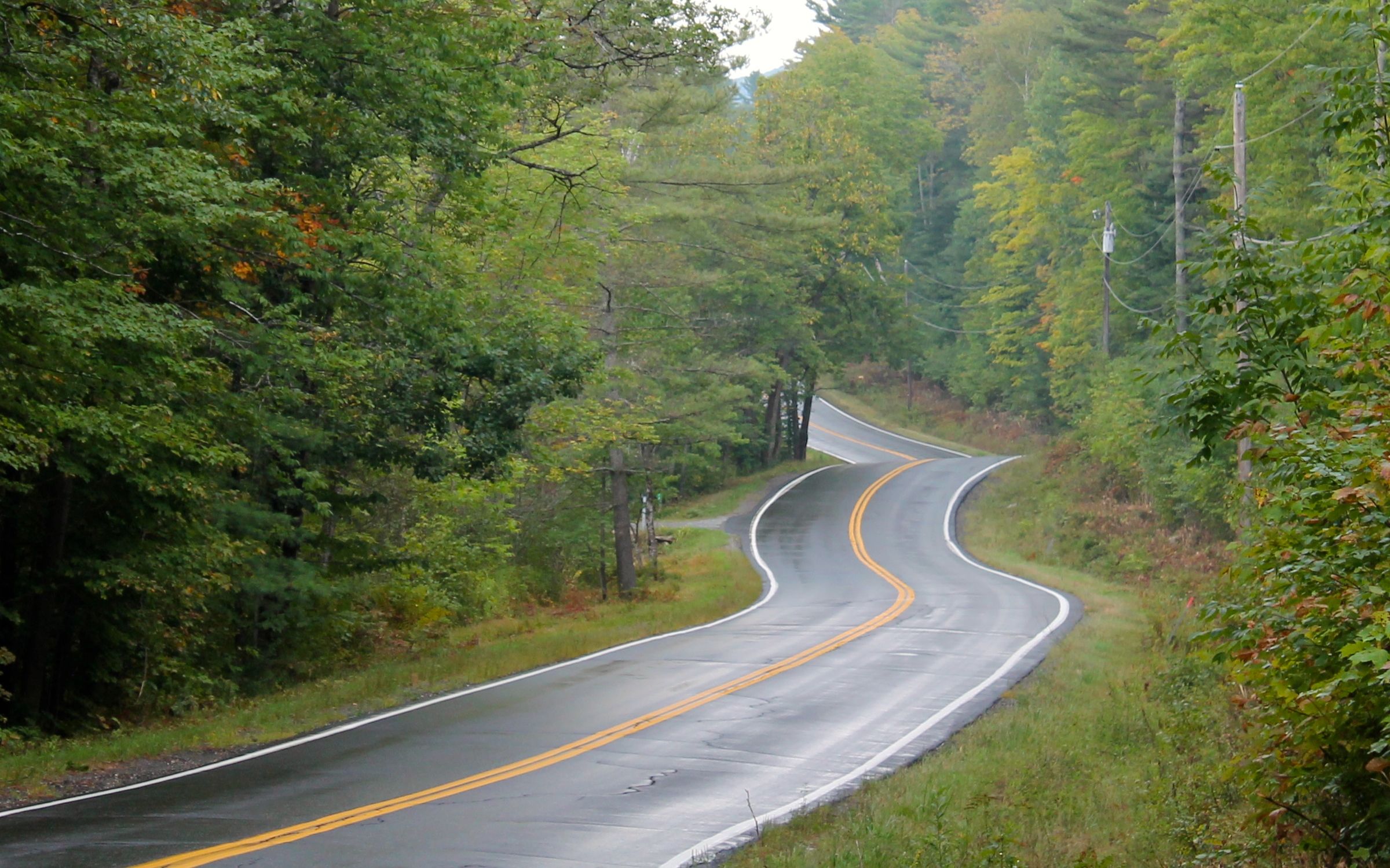
The closer I got to the top of the pass, the worse the clouds and fog were. But these photos are indicative of the that region.
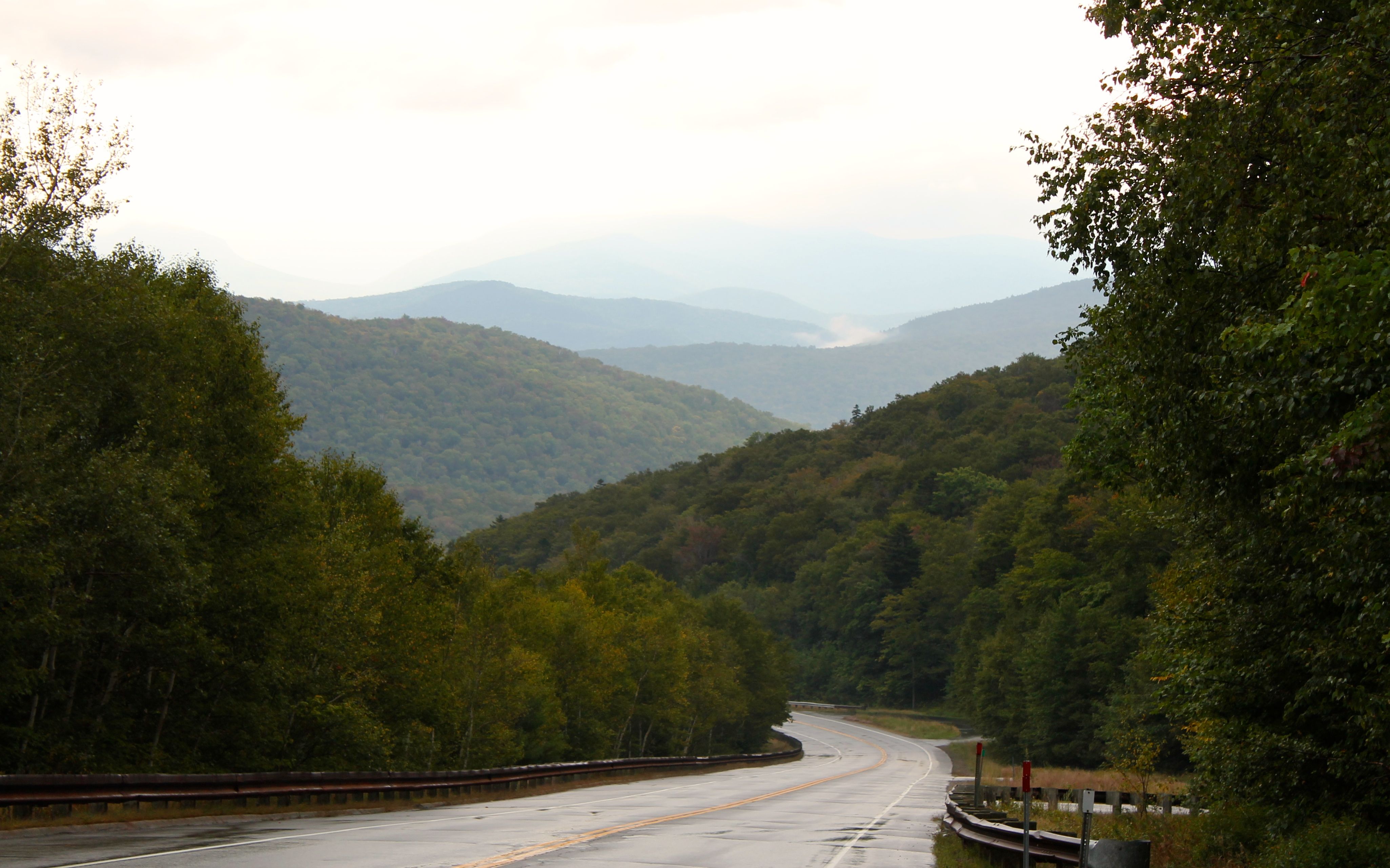
The route over the mountains, Hwy 112, was a great choice. The posted speed limits are generally 40 mph, which seemed pretty conservative except when the road surface is full of frost cracks, which was common.
I had planned a second ride if the weather reports proved inaccurate. A two-hour loop would take me north of Conway and bring me back. The plan was to check in to the motel and evaluate then. I decided since the roads were wet, and the winds were picking up I would instead catch up with work and rest.
I had dinner at the Muddy Moose down the street. The meal of ribs was fine but the ale from a Londonderry, NH brewery called 603 Brewery was yummy!
Tomorrow I reach Acadia National Park. The weather is supposed to be good for several days. I will camp at Blackwoods campground one night. That signals the end of the trip east and I will begin to work my way south and west.
