
The temperature ranged from the low 50’s in the mountains to high 70’s along the Columbia River. It was partly cloudy but not even a hint of rain.
Day’s distance: 349 miles
Leaving the house just after 9am, I traveled east on I-90 to Hwy 18 west. I then traveled south on Hwy 169 into Enumclaw for a latte and some fuel for the bike.
Traveling east on Hwy 410, I left Enumclaw and headed along the eastern edge of Mt. Rainier.
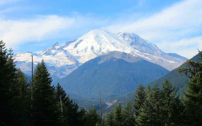
I planned on riding along Hwy 123 but passed the turnoff, temporarily, to travel a few miles further to Chinook Pass. From a previous day-trip, I knew there would be an opportunity to get another photo of Mt. Rainier near Tipsoo Lake.
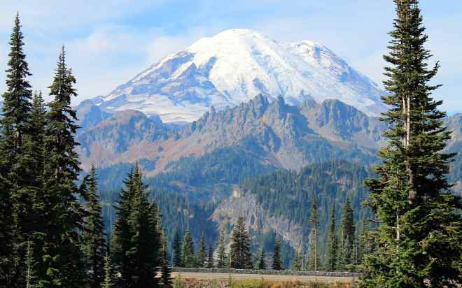
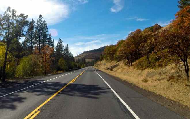
I turned around and returned to the turnoff for Hwy 123. This is a fun, twisty road that continues to hug the base of Mt. Rainier.
Some shady parts of the road were still damp from overnight fog and while the road is in good shape generally, the few tar snakes that are present were pretty slick this morning.
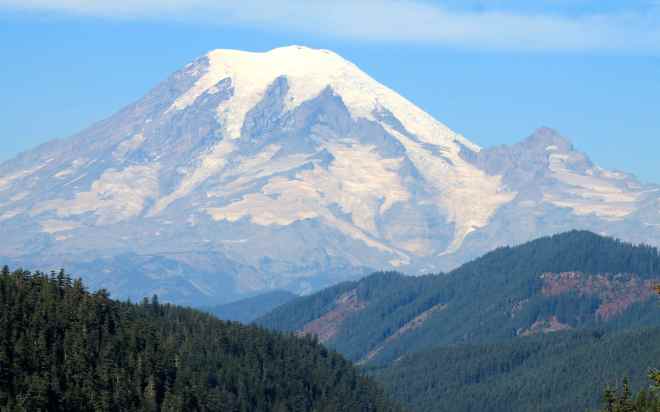
Soon, Hwy 123 ended and I turned east onto Hwy 12. The Palisades Viewpoint is a scenic overlook along Hwy 12 just west of the top of White Pass. I saw another good view of Mt. Rainier from here …
as well as an interesting column basalt rock formation.
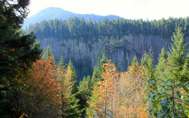
Here’s the story of how a local volcano’s lava flow is assumed to have created the column basalt.

and a close up that fails to capture the amazing qualities I saw in person.

Hwy 12 lead to Yakima where I chose to take Hwy 97 south because I enjoyed the forested portion of the road north of Glendale …
and I enjoy the ride along the Columbia River.
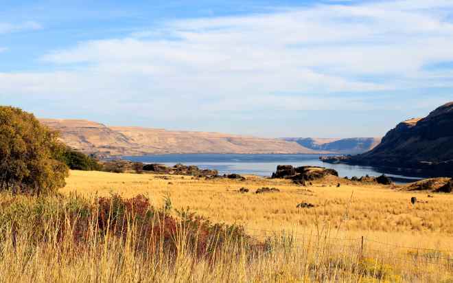
For those considering traveling along the north shore of the Columbia River, be aware there is a significant distance without access to fuel. I believe it is an 82 mile stretch between service stations. I knew this from a ride I took in 2013 with my regular riding buddy, Will, and topped off in Goldendale.

Photos of Mount Ranier look unreal, like a painting. Love the shot of Chinook Pass.
LikeLike