Additional information and photos from Day 2. This additional material will be incorporated into the final write up but I didn’t want folks to miss seeing it 🙂
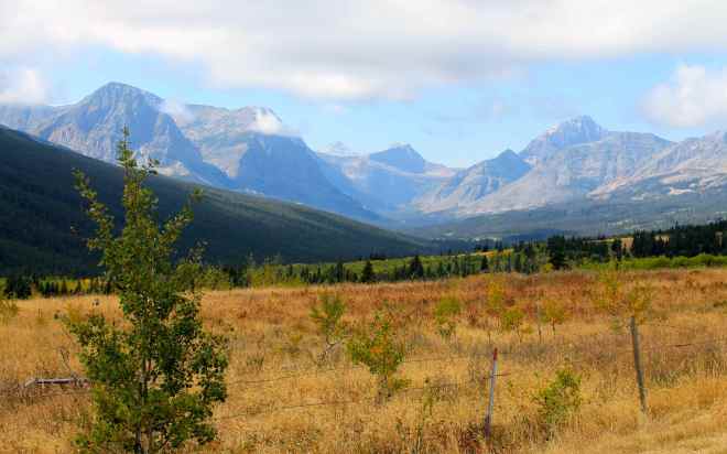
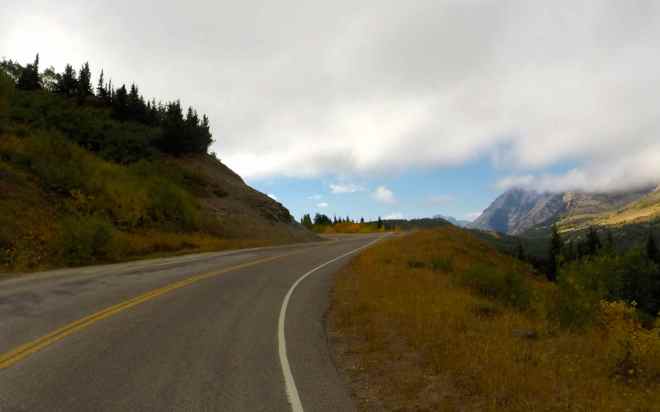
After departing Glacier through St. Mary, I traveled south along Hwy 89. This two lane highway was in good shape and combined 55mph speed limits with scenic views.
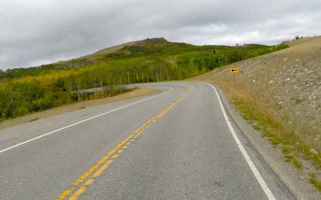
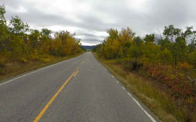
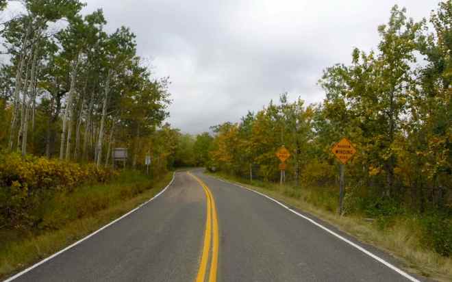
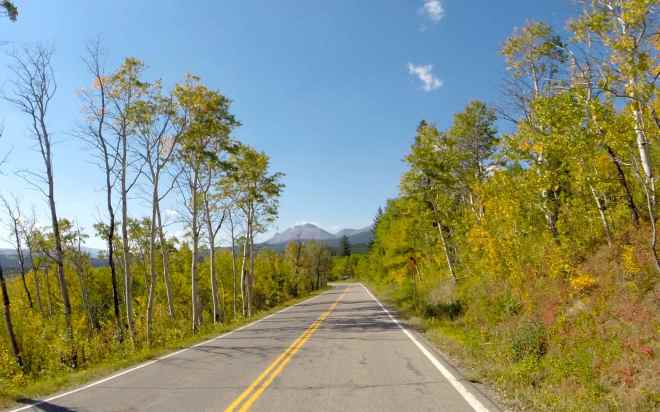
Instead of taking Hwy 89 into Browning before returning to Kalispell, I turned onto Hwy 49. This road reminded me of the Lost Coast Road I traveled on Day 6 of my Western States Tour. That is to say it wasn’t in really good shape but offered tight, sometimes pretty bumpy twists along with some great views. Fall colors were visible as were some cattle grazing alongside the road. Speed limits were 25mph most of the time.

Highway 2 traveled along the southern border of Glacier National Park. Once it reaches Nimrod, it turns north and follows the Middle Fork Flathead River through forested canyons. The turns were mostly gentle and while scenic by most standards, it seemed a little boring compared to earlier roads that day.
