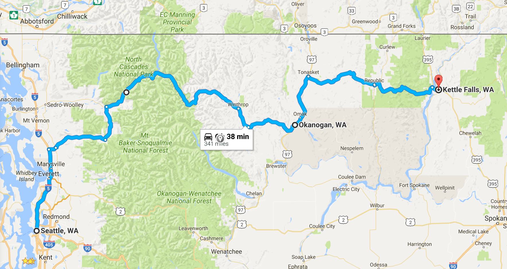
Day’s distance: 348 miles
I left the house just after 8am. It was 59 degrees and overcast. Temperatures reached a high of 84 and the overcast burned off by 10am leaving only high clouds in the sky. Not great light for photography, but I took photos anyway.
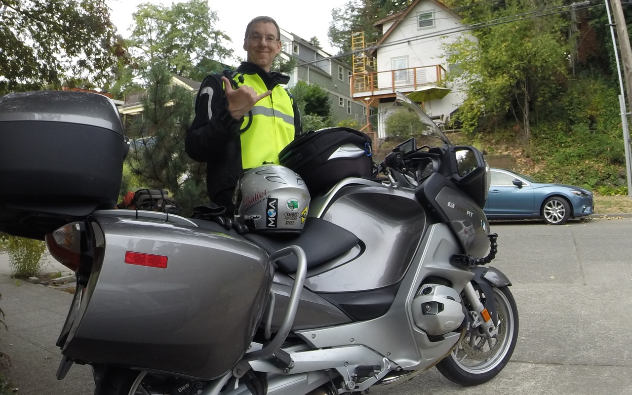
I’m super stoked to be on the road, again.This trip will be about 10,000 miles total and take almost six weeks. It does take a few days to settle in to the new routine, and this trip adds an element not present in my 2014 Western States Tour or my 2015 Southern States Tour – I have some work to do each day. I’m grateful that I can work, as needed, from the road.
As is my habit, I’ll usually post a photo or two of my bike. Today, the total is four.
Here is one taken just after crossing the Sauk River.
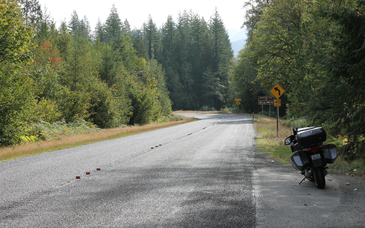
It was shortly after getting back on the road after taking this photo that I became concerned that I might run out of gas. Rockport, the next town I passed through, did not have a station. Well, it didn’t have a station that wasn’t boarded up. The next thing I saw was a sign indicating last services for 74 miles. Luckily, the sign was intended to make you check before you drove through the town of Marblemount without stopping. Marblemount had two stations, along with Crown’d Coffee, a latte stand where I filled up with espresso.
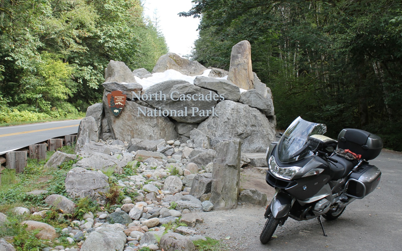
With a full tank and a double shot latte, I was set to continue to the North Cascades National Park. This is the third trip along this route in three years.
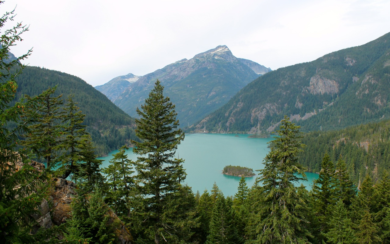
I rode past Diablo Lake
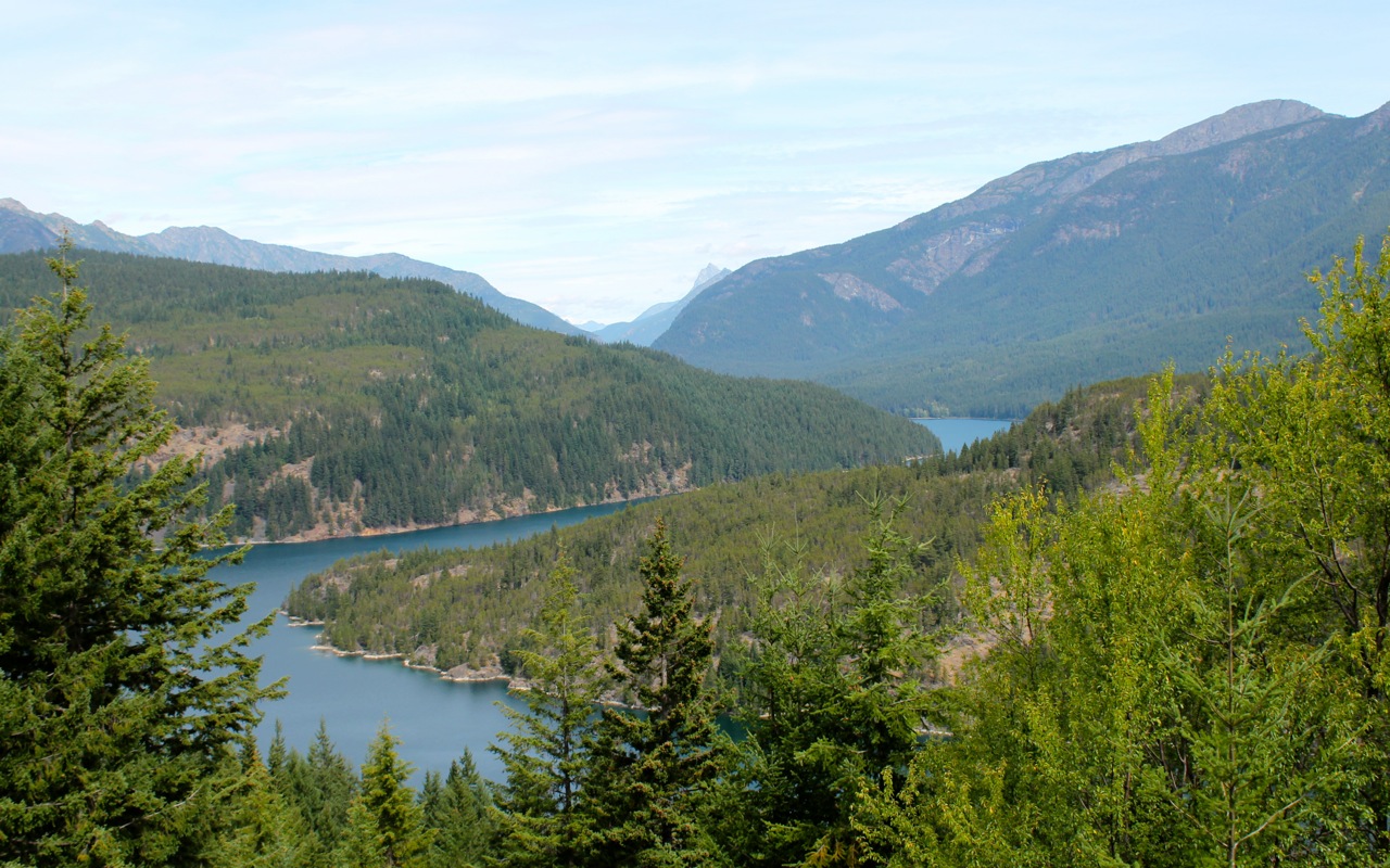
and then Ross Lake
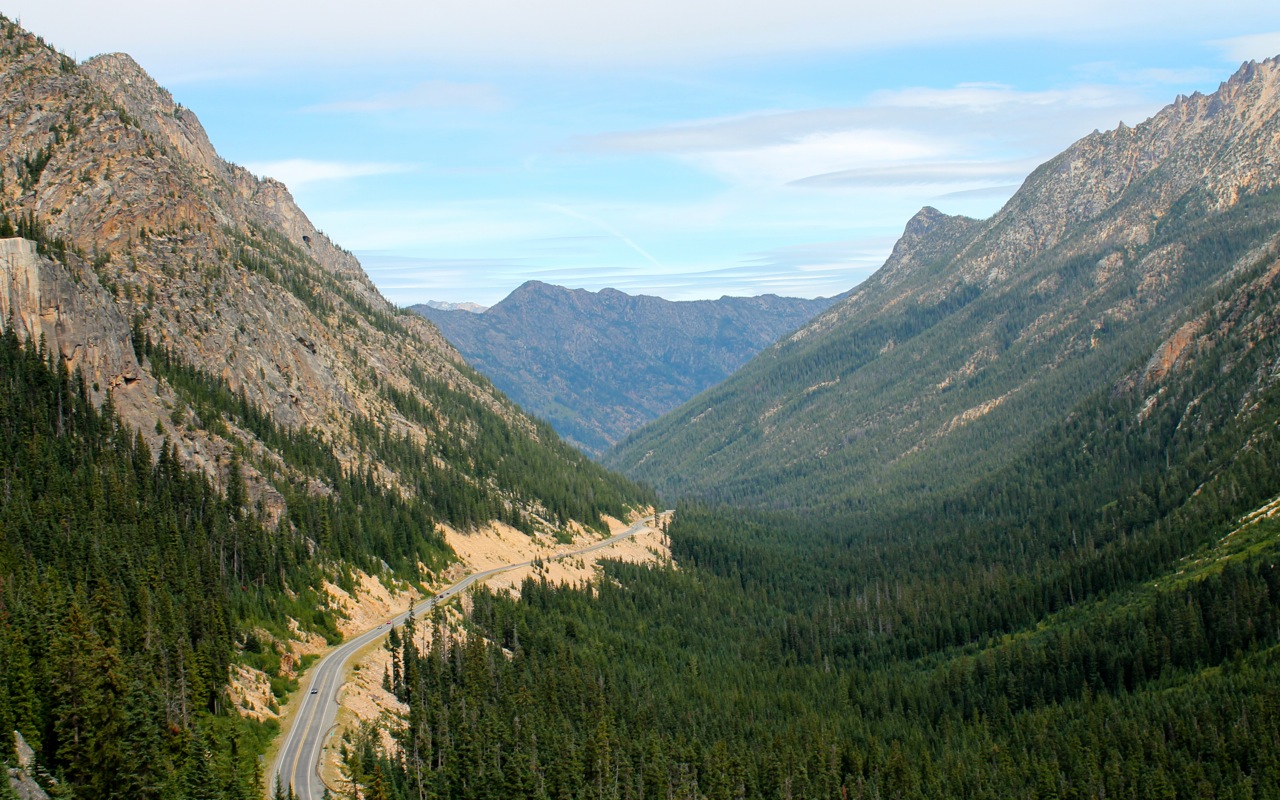
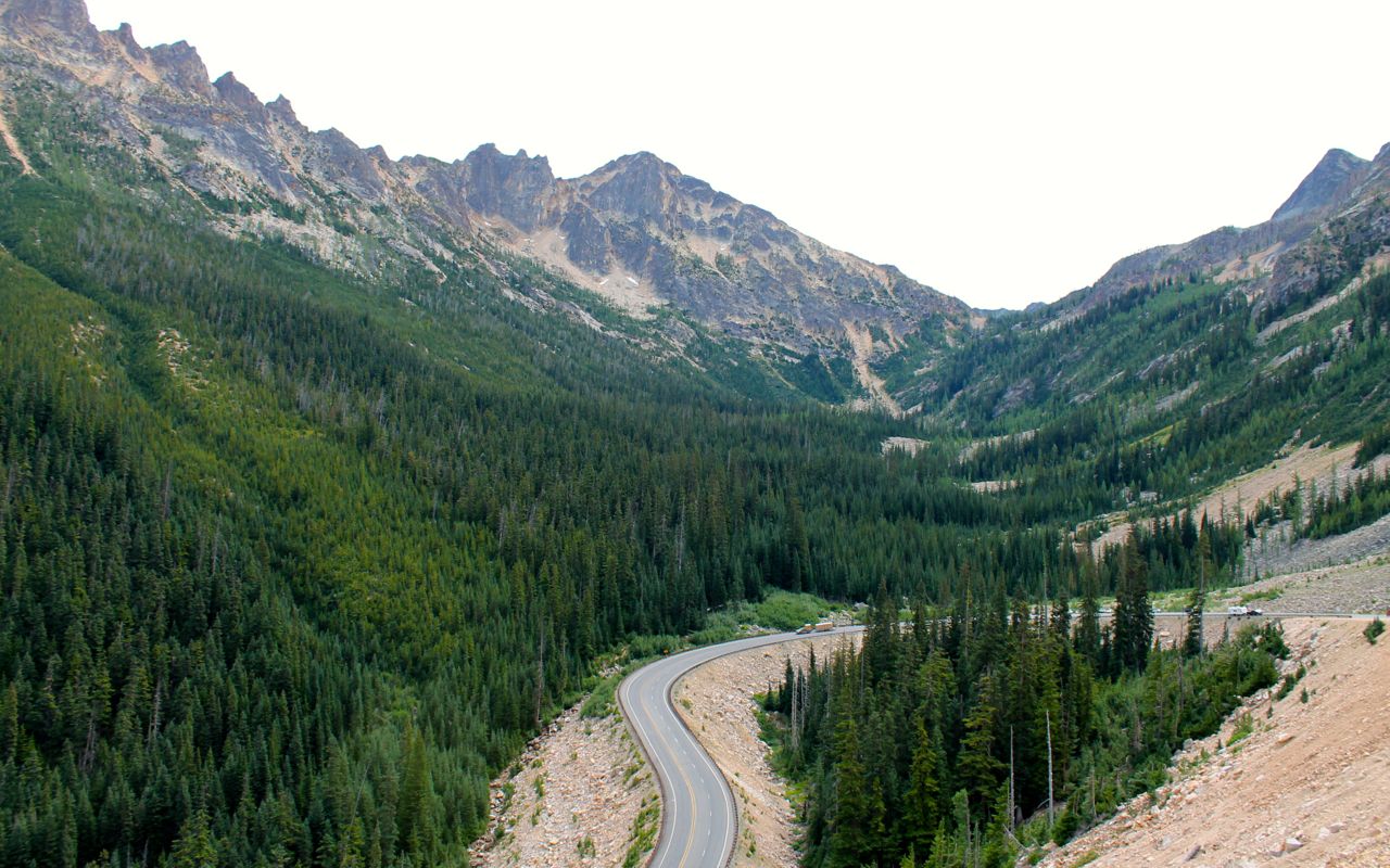
Hwy 20 is a national scenic highway. It is gorgeous to ride on a motorcycle. The road surfaces are good, but you need to watch out for the occasional frost heave in the roadway. The scenery is spectacular.
Traffic was light all day given it was a Sunday during the summer. Lot’s of bikes were out and lots of bikers were taking a break in Winthrop around lunch time.
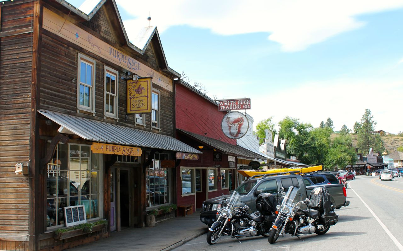
That was my lunch stop, as well. I picked Jack’s Saloon and had soup and a salad.
My Garmin GPS estimates my arrival time once it knows my destination. When I first left the house, it told me I would arrive at Kettle Falls just after 3pm. Time slips away at each gas stop, each photo stop, and each extended conversation with others. By the time I was done with lunch, that estimate changed to 5pm. This is expected and I’m going to try to follow how much “extra” time I spend each day taking photos, stopping for coffee, fuel, and just hanging out talking to people. I am not trying to change those patterns, just plan for them to happen.
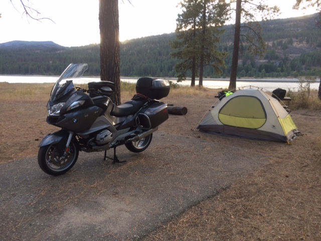
The weather is ideal for camping and I stopped at Kettle Falls campground for the night. I was here last year on my trip to Glacier with my regular riding buddy, Will. I did not make reservations and the place is largely empty, as I expected. I grabbed a spot by the river’s edge.
I stopped in the town of Kettle Falls to grab some dinner. I brought meals to prepare but I didn’t want them tonight. Instead I grabbed a hummus and veggie wrap and an interesting salad called “World Peas” from a local health food store. It seems I was destined to avoid the burger and fries type of meals today. 🙂
The weather looks good for tomorrow. Partly cloudy and temperatures in the 80’s during the day. I travel some new-to-me areas of Montana tomorrow.

Exciting to be going with you by blog on this trip! The N Cascades Pk photos made me nostalgic for the Pacific NW; I backpacked there often in high summer. If I close my eyes, I can be back on the trail on a sunny day with unmatched scenery on all sides and little pikas popping up here & there. As we say in Hawaii – “Hele (haylay) on” – or keep on truckin/biking, Keith!
April
LikeLike