
The day started out partly sunny. Later, I encountered wind, then rain, hail, and fog. Temperatures started in the mid 50’s and ended in the high 60’s, but was as low as 36 in the mountains.
Day’s distance: 149 miles
Total trip distance: 1,868 miles
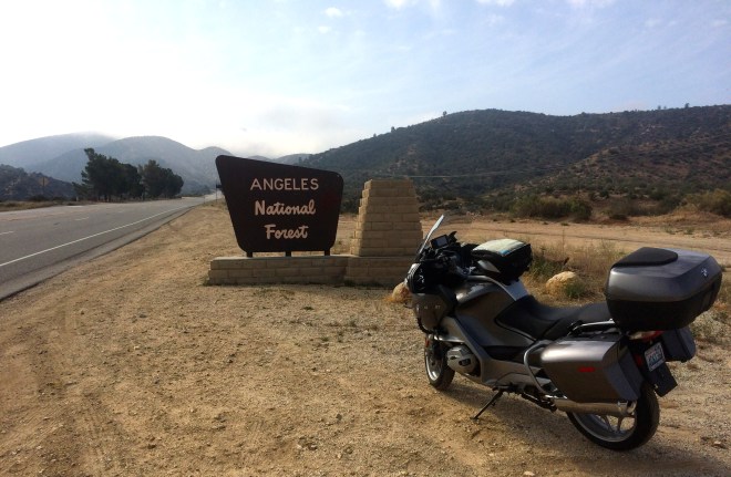
Today’s route took me up into the San Gabriel and San Bernardino Mountains. I learned from traveling over the Los Padres Mountains that it can be cold at higher elevations so I put on my “long” base layer and my jacket liner before leaving the motel.
The trip started by taking Mt. Emma Road, followed by the Angeles Forest Highway.
A forest fire swept through this area a few years back (2009?), leaving the trees burnt and the area susceptible to mud slides.
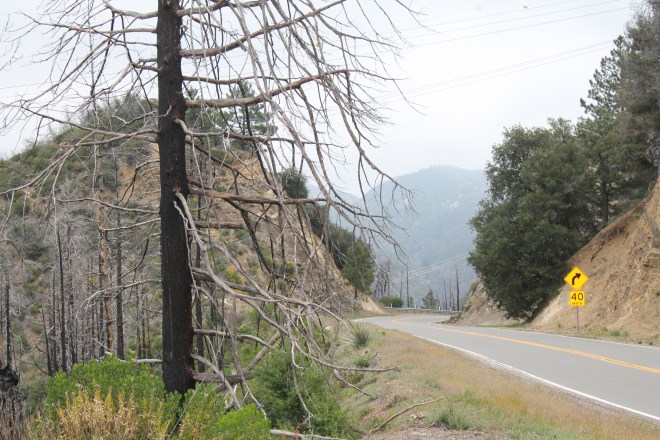
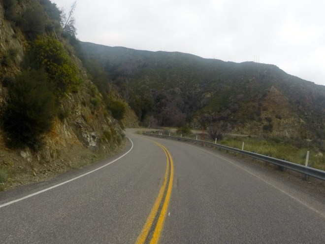
The road was in good condition, though not smooth enough to earn 5 stars. Hwy 2 was next and was in better shape.
I turned the wrong direction getting on Hwy 2 and had to backtrack about 5 miles. Either my GPS was confused or I programmed it with a route different than what I intended – not a big deal either way.
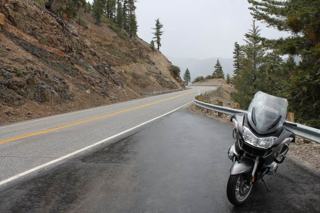
As the elevation climbed, I began to find myself in the clouds.
There was very little traffic. What there was seemed to consist of road maintenance vehicles, a few other bikers, and a few Corvettes 🙂
It started to rain. Near the Dawson Saddle (7901 feet) it started to hail. I stopped at a pullout to close the vents on my jacket and met Deirdre Smith who was hiking the Pacific Coast Trail. This woman had already hiked the Appalachian Trail and it was fun to chat with her for a few minutes.
Luckily the hail was small and the temperatures were warm enough that the road was not slick. Out of an abundance of caution, I did slow considerably until the temperatures rose back into the mid 40’s.
By the time I reached Wrightwood, I was hungry and stopped at the Grizzly Cafe.
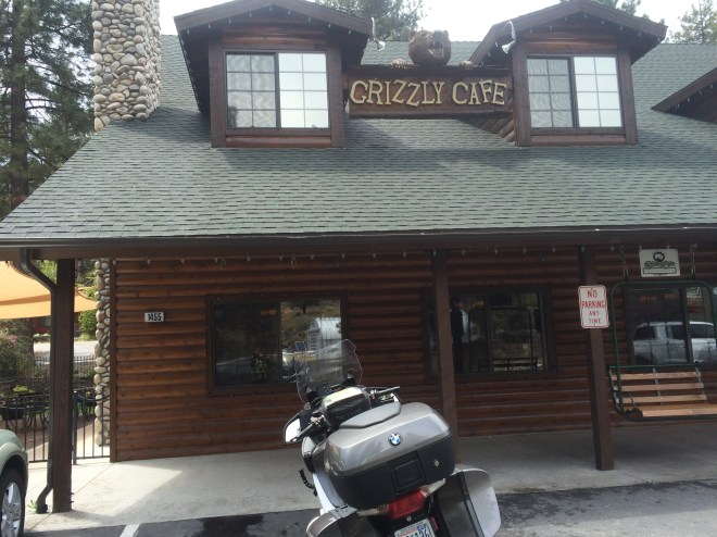
The food was good and the service excellent. Recommended if you’re in the area.
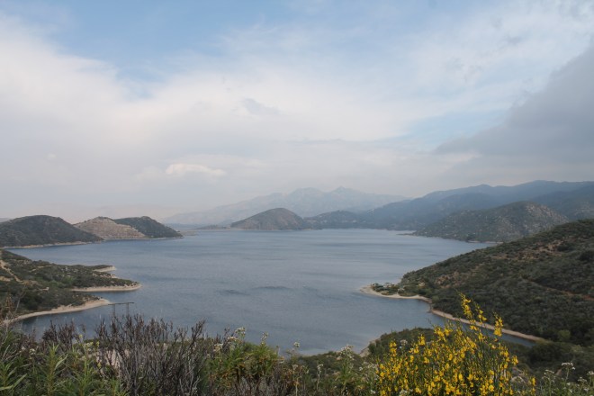
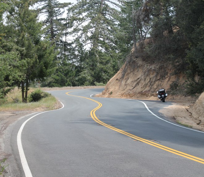
Running into hail made me cautious about going into the San Bernardino Mtns. Heading up Hwy 138 past Silverwood Lake, I encountered stronger winds coming off the mountains I was about to enter.
This road was well maintained and was quite twisty just past the lake.
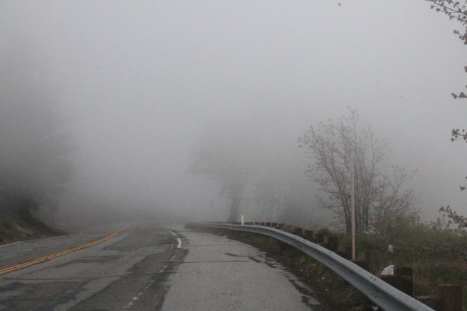
Hwy 18 past Lake Arrowhead was next. I didn’t find this road worthy of the highest rating it received by the Butler folks. It was crowded and in bad shape. I was happy there was no rain or hail, but fog became a significant issue.
Reaching Running Springs, I decided to skip a visit to Big Bear Lake and took Hwy 330 off the mountain and into San Bernardino.
Splurging a little for a room at the Hampton Inn instead of the Motel 6 option I’ve been using, I made use of the heated outdoor pool (twice). All in all, another very good day 🙂

Looks like a fun route and challenging day for a ride…and a good night for a hotel room. I’m headed for Cali in about 9 days for the Amgen Tour of California. Headed out via Park City to South Lake Tahoe, snow storms permitting. Der Weg ist das Ziel!
LikeLike
All the best with the Amgen Tour and the journey there, my friend.
LikeLike